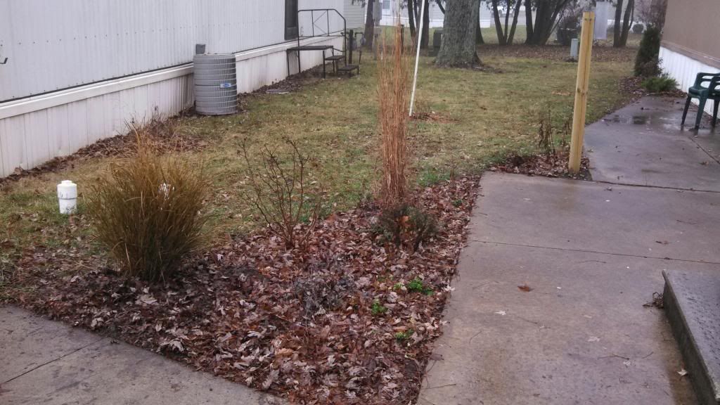
Garden on a mild foggy December 5th Day
The past week day or so has been very changeable in terms of weather here in Eastern Iowa. We went from mile temperatures in the 40s and 50s which peaked Wednesday to highs as warm as the middle 50s in the far south to the middle 40s north. Highs dropped to the 20s for today. All of this was thanks to a huge snowstorm hitting up to our north in Minnesota and my hometown area of Northwest Wisconsin. This huge storm which dumped 2 1/2 feet of snow on parts of Far Northern Minnesota near Duluth was responsible for the very mild temperatures we seen yesterday. The cause of it was as the low slowly moved northeastward through Southern Minnesota, the southerly winds on the south side of the storm pumped very mild air in from the south, but due to a frozen ground from past snowcover, very dense fog rolled in and remained in place for 1 full day and 2 mornings. It warmed up for so long I was even able to get some quick last minute plantings into the ground and I did not encounter any frozen soil at all, which makes December 3rd the latest ever I was able to garden. However late Wednesday after temperatures peaked, the cold front blew through and temperatures dropped 10 degrees in an hour. and by Wednesday morning they were in the 10s, with Northwest winds gusting between 35 and 40MPH Below is a list of highs seen yesterday/compared to today along with highest winds gusts. We seen no snowfall or only flurries with only a few hundredths of an inch of rainfall with this storm.
Hiawatha 49.F/23.F 36MPH
Cedar Rapids, Eastern Iowa Airport 49.F/23.F 36MPH
Vinton 49.F/23.F 35MPH
Waterloo 45.F/22.F 30MPH
Independence 45.F/25.F 31MPH
Monticello 50.F/25.F 31MPH
Iowa City 53.F/23.F 32MPH
Washington 54.F/23.F 33MPH


No comments:
Post a Comment