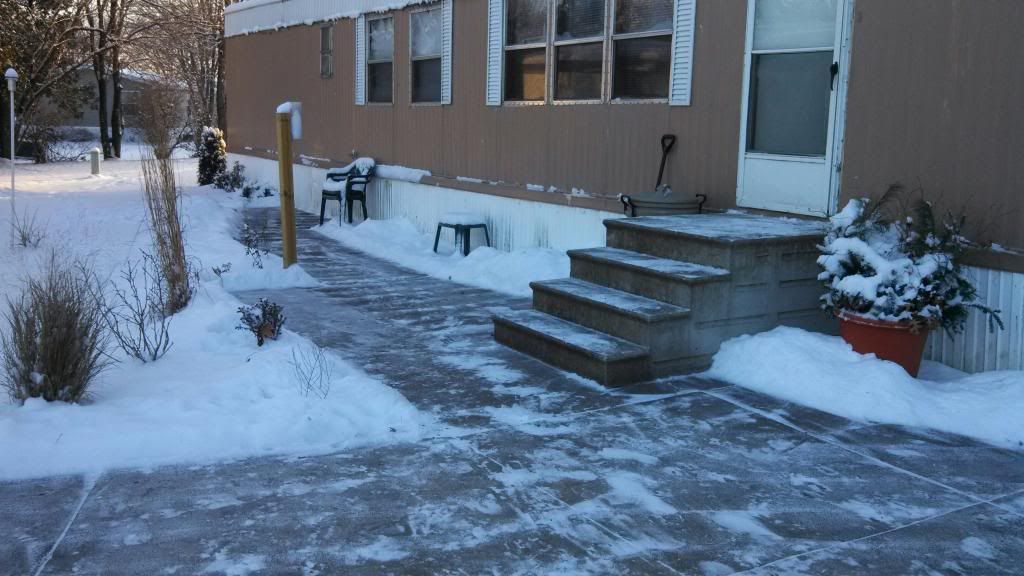
December 9th snowfall
It is now full fledged Winter here in Eastern Iowa as a new blanket of snow ranging from 4" across the central part of the area to just over a half inch over parts of the south, however, all areas now have snow cover. The recent Snowfall is thanks to a weak winter storm which produced a low that moved through Southeastern Iowa spreading widespread snowfall across much of the region. It was actually snowing across a good 200 300 miles as far north as Minneapolis,Minnesota. The highest accumulations from the storm were right here in Eastern Iowa and farther west towards Central Iowa and Des Monies. The snow fell while it was relatively calm and temperatures were in the 10s and 20s, making for a very powdery snowfall. Snow was heavy at times especially in the afternoon Sunday, Winds did pick up slightly during the snow but was not a huge issue. There were reports of quite a few accidents across the area including a major accident on interstate 90 near Williamsburg. Overall this snow should be typical for December standards, but locals are saying this winter so far odd that we have had so many sticking snowfalls this early in the season. Below is a list of snowfall reports Sunday into Monday morning.
Belle Plain 4.0"
4 miles N Marengo 4.0"
Vinton 3.80"
Hiawatha 3.75"
Atkins 3.50"
Scotch Grove 3.50"
Cedar Hills 3.30"
Springville 3.30"
Cedar Rapids 3.0"
Marion 3.0"
Bertram 2.90"
Independence 2.50"
North Liberty 2.50"
Iowa City 2.40"
Solon 2.30"
West Branch 2.20"
Cedar Falls 2.0"
Parnell 2.0"
Waterloo 1.90"
Stanwood 1.50"
Wellman 1.50"


No comments:
Post a Comment