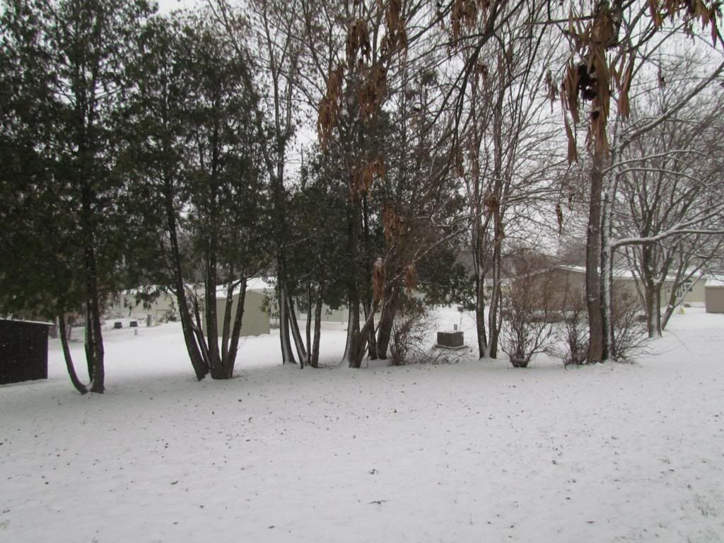
Snowfall earlier this morning Hiawatha,Iowa
It's starting to look a lot like Winter across Eastern Iowa, as a small but potent weather system left a blanket of 1-3" of new snow across the area. The cause of the snow was a system on the heels of an arctic cold front which is about to move into Iowa. Snow started late last night around 3, 4am and continued through the mid morning hours. The bands were heavy at times before they ended. Temperatures did slowly warm to the lower 30s, but the snowfall is here today at least through Thanksgiving because the ground is now frozen and we are not expecting temperatures above 32 until the end of the week. The highest snowfall reports came from the Northern parts of the area, where 2" were seen. North of the area as much as 5.00" were seen near Olwien
Central City 1.90"
Hiawatha 1.75"
Marion 2.00"
Olin 2.00"
5 miles NW Iowa City 1.0"
Northwest Cedar Rapids 1.90"
Anamosa 2.00"
Vinton 1.00"
Coggon 1.00"


No comments:
Post a Comment