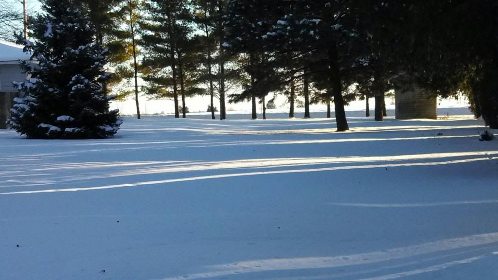
Iowan Winter Day December 11th 2013
Another snowfall immersed Eastern Iowa late last night into this morning. The cause of the snow was a quick, but potent clipper style storm that slide across Southern Iowa spreading snow across much of Iowa. The highest amounts and heaviest totals were centered in Central and Eastern Iowa along Highway 30 from Ames through Marshalltown and the Cedar Rapids metropolitan area. Temperatures were in the upper teens and 20s at the the snow fell. Then as the storm pushed out, Northeast winds picked up to near 30MPH dragging in bitterly cold temperatures back down to the single digits, with wind chills into the teens and 20s below zero, prompting wind chills statements from the National Weather Service. Also seen this week were the coldest temperatures seen of the season so far ranging from -10.F at Cedar Rapids Eastern Iowa Airport to -13.F at Monticello. Near the bottom of this post is totals from this event plus lowest temperatures seen.
For the month here in Hiawatha, Iowa ( North Cedar Rapids Metro ) with last nights snow of 3.00" brings the monthly total to 6.75" which is only 2" from the average of 8.70" for the month. The snow on the ground currently is 4.50"
Scotch Grove 4.50"
Anamosa 4.0"
Independence 4.0" ( -9.F )
Urbana 4.0" ( -8.F )
Olin 3.90"
Monticello 3.90" ( -13.F )
Marion 3.50" ( -2.F )
Hiawatha 3.0" ( -5.F )
Stanwood 2.80"
Cedar Hills 2.50" ( -2.F )
Cedar Rapids 2.30" ( -10.F )
Lisbon 2.50"( -6.F )
Belle Plain 1.50" ( -7.F )
Solon 1.50"
Waterloo 1.40" ( -6.F )
North Liberty 1.30" ( -7.F )
Tiffin 1.00"
Iowa City 0.80" ( -9.F )


No comments:
Post a Comment