
Iowa Weather Network Warnings Map

Winter Weather Advisory
Wednesday, December 18, 2013
Wednesdays High Temperatures middle 40s seen
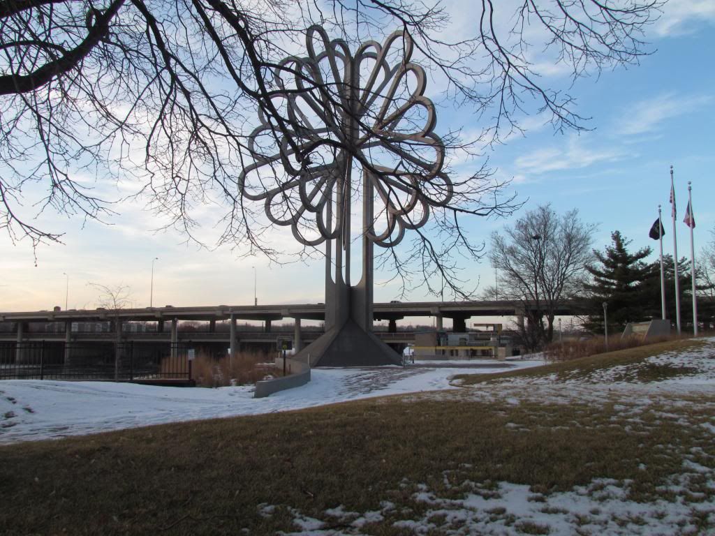
Tree of 5 Seasons Downtown Cedar Rapids December 18th 2013
Today was a much welcomed beautiful day in Eastern Iowa, we had sunny skies and southerly winds. The southerly winds pushed warm air into our area rising temperatures ranging from the upper 30s and middle 40s. The warm moved quickly across Iowa, but then slowed down as it moved into Eastern Iowa. The front parked just northeast of a Waterloo to Cedar Rapids to Iowa City line, which is why locations northeast of this line had temperatures remain in the upper 30s. Southwest of this line, especially the Southwest part of the area had temperatures in the middle 40s. The warmest reported temperature was 46.F from Williamsburg. Even warmer temperatures were seen outside of Eastern Iowa in other parts of the state. Other temperatures include 51.F at Des Monies 56.F at Lamoni and 59.F at Shenandoah. Below is a list of local highs seen across Eastern Iowa. Warm ups like these are certainly not deemed as unusual for Iowa, as it is fairly typical for these to arise once in a while in Winter for a day or two before it cools down.
Willamsburg 46.F
Washington 45.F
Kalona 43.F
Hiawatha 43.F
Iowa City 42.F
Waterloo-Cedar Falls 42.F
Belle Plain 42.F Vinton 42.F
Cedar Rapids 41.F
Mount Vernon 40.F
Independence 37.F
Monticello 37.F
Manchester 36.F
Subscribe to:
Post Comments (Atom)


No comments:
Post a Comment