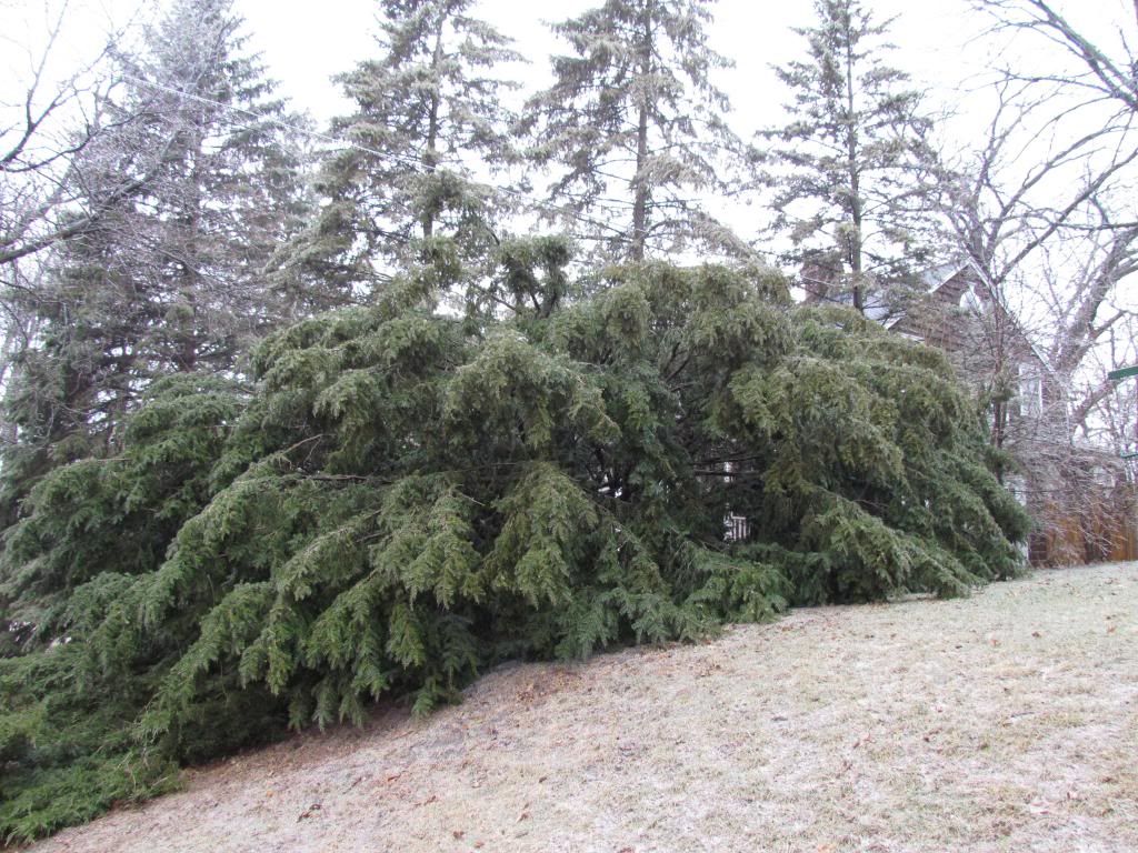
Branches weighed down by ice on an evergreen.
Sundays, a low pressure system moved across the region, spreading a wave of light to moderate precipitation through the entire area Sunday Morning into the early afternoon hours before tapering down to drizzle for the evening and overnight hours. Temperatures ranged from 30 to 32.F and most of the precipitation type was freezing rain, however the far northern parts of the area Cannon Falls and Red Wing areas had sleet and slow mixing in. About 1" of snow was seen in this area with some ice accumulation. Future south 0.25-0.30" of rain which quickly froze to roads and sidewalks and trees because of how cold it has been lately, it became a full fledged ice storm in this region. This ice accumulation on sidewalks and roads caused significant travel impacts and delays several roads, even all of the areas major roads were effected. Even though the ice ended at least 10 hours before Monday cool temperatures allowed for ice to remain on roads shutting down many area schools on Monday morning.
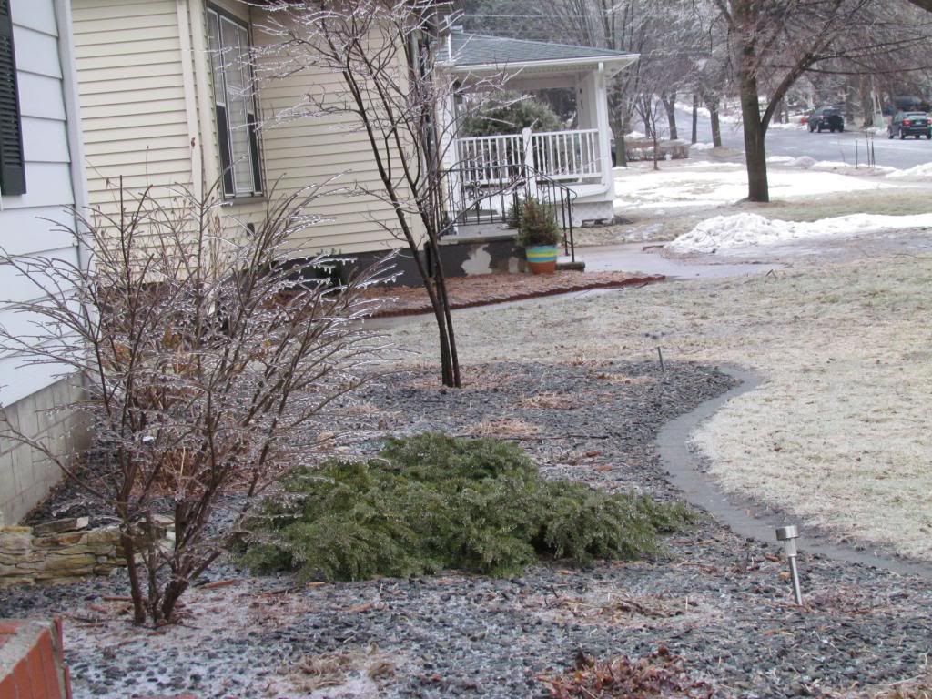
Ice on landscaping in the front yard January 27th.
Here in Rochester freezing rain started at 9am and continued until about 2pm. The precipitation type was nearly all freezing rain with bouts of some sleet. Freezing rain was moderate at times which was it was a new experience for me to see freezing rain at a heavier rate then drizzle.
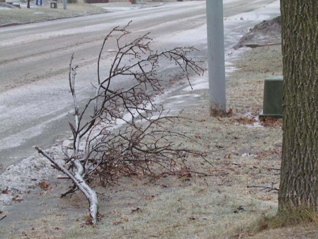
Fallen tree branch January 27th
Impacts around Rochester and everywhere else were majorly centered around horrible travel
conditions. Many accidents were reported around the metro and over 650 accidents were reported in Southern Minnesota. Main roads
were kept up fairly well but even travel on those was slowed. Traffic on
highway 52, the major 6 lane freeway through the city was slowed down
significantly. On Interstate 90 there were reports of several accidents and 100s of
cars pulled over to the side of the roads waiting out the slippery
conditions. Side roads were nearly impossible to travel on because of
ice. Mower County reported many accidents county wide. It came to a point where The Minnesota Department of Transportation at one pointed advised
no travel on all of our areas major roads including Highway 14, Highway
52, Highway 63, Highway 61, and Interstate 90. There was minor damage to power lines and trees with a few loosing some limbs in the ice. Branches were reported down in Kasson as well. There were reports of power lines coming down in the city of Austin causing problems with outages and blocking some roadways. Monday Morning all of the public schools were closed because of continued icy roads.
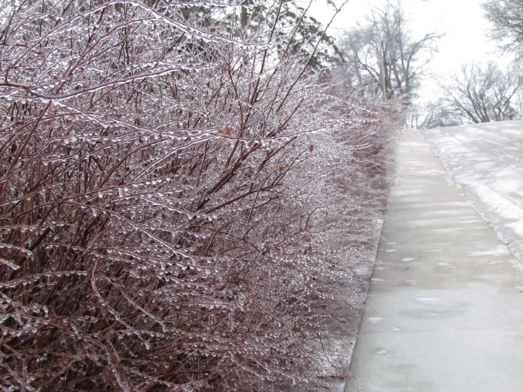
Ice January 27th
The photo above shows this event as it happened fairly well. Ice accumulation amounts ranged from a quarter of an inch to 3 tenths of an inch. This made it difficult to get out for photos because of ice and people had to
walk slowly or not on the sidewalk at all to avoid slipping. Northern Goodhue County precipitation began to turn to sleet and snow. around 1" of snow was reported n Cannon Falls and Red Wing. It is interesting to note that future north outside of the coverage area into central Minnesota and Northern Wisconsin, rain turned to all snow, accumulations were 3-5" up through central Minnesota and my hometown area. Little icing was seen here.
January 27th event and Ice Storm Reports
Red Wing 1" snow
Austin- Multiple accidents on I-90
Austin-Power lines down
Austin Freezing Rain-0.25"
Kasson-Tree limbs down ice covered roads
Rochester-Traffic significantly slowed on highway 52, many accidents around the city.
Rochester-A few limbs down
Rochester Freezing Rain-0.25"
Winona mixture of snow/sleet numerous accidents reported on I-90
Winona Freezing Rain 0.10"
Stewartville sleet and freezing rain
Spring Valley-Freezing Rain 0.10"
Harmoney Freezing Rain -.25"
Wabasha-Freezing Rain 0.10"
West Concord Ice coating the road and trees
Dover Freezing Rain
Grand Meadow Freezing Rain


No comments:
Post a Comment