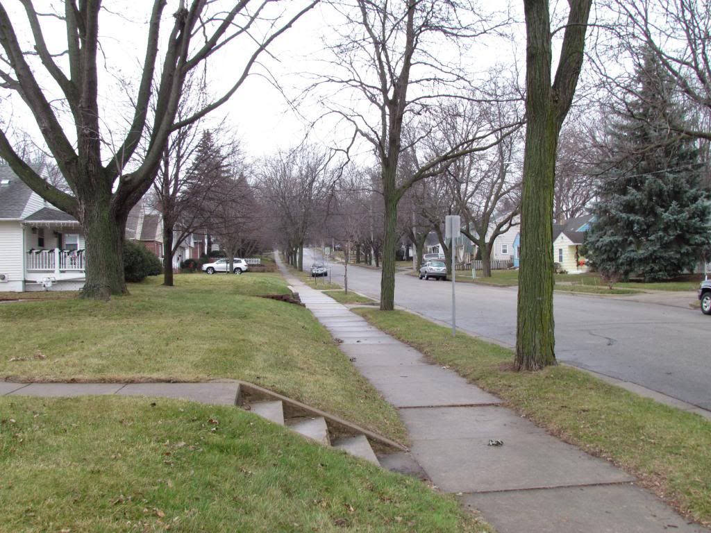
Neighborhood December 3rd 2012
An all to common December scene if you compare the start of this December to last year, Snowless. A passing warm front along with lack of snow on the ground has allowed temperatures to rise to record levels today into the lower to middle 60s. A record high of 62.F was reported at Rochester Airport, breaking the old record high of 59.F set back in 1962. What was rather odd about this warm up is that 60s were reached even though very little sun was seen. It has one wondering what temperatures could have been reached has the sun shined all day long!
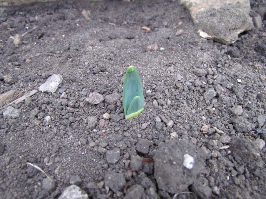
Daffodil sprouting December 3rd 2012
Daffodils in December? This year it is a reality. The flip flops in weather we've been having where we have a week of cold snaps, then a warm up has fooled some of the Daffodils into thinking it is spring! Sprouting daffodils in December is quite odd, but it will not harm them as long as it cools down before they grow to much. What will likely happen here is that they will stop growing until we get longer lasting spring warm ups next year.
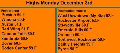
Highs Monday December 3rd.
Overall the areas highest temperature was from Preston which reached a toasty 65.F. The coolest was an unoffical station Byron, which had a high of 58.F


No comments:
Post a Comment