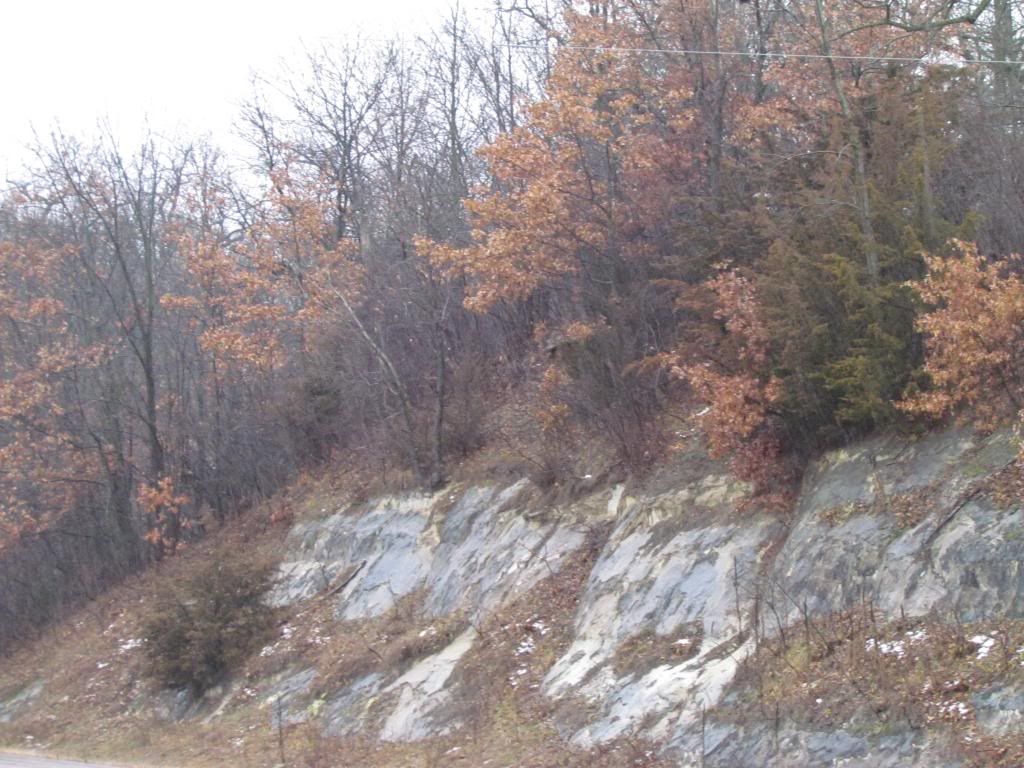
This weekend a storm system moved across Minnesota with our area being on the warm side of the storm. Being on the warm side of the system waves of light to moderate rain and drizzle pasted through the area Saturday along with rising temperatures which rose to the lower 40s. The high at my station during the system was 41.F Healthy rainfall amounts ranging from a half an inch to over an inch were seen. Unfortunately the rain came and the expense of all to most of the snow in Southeastern Minnesota and areas that were once white are back to brown, including here in Rochester. As the storm pulled away it did end as some light snow but only trace amounts were reported.

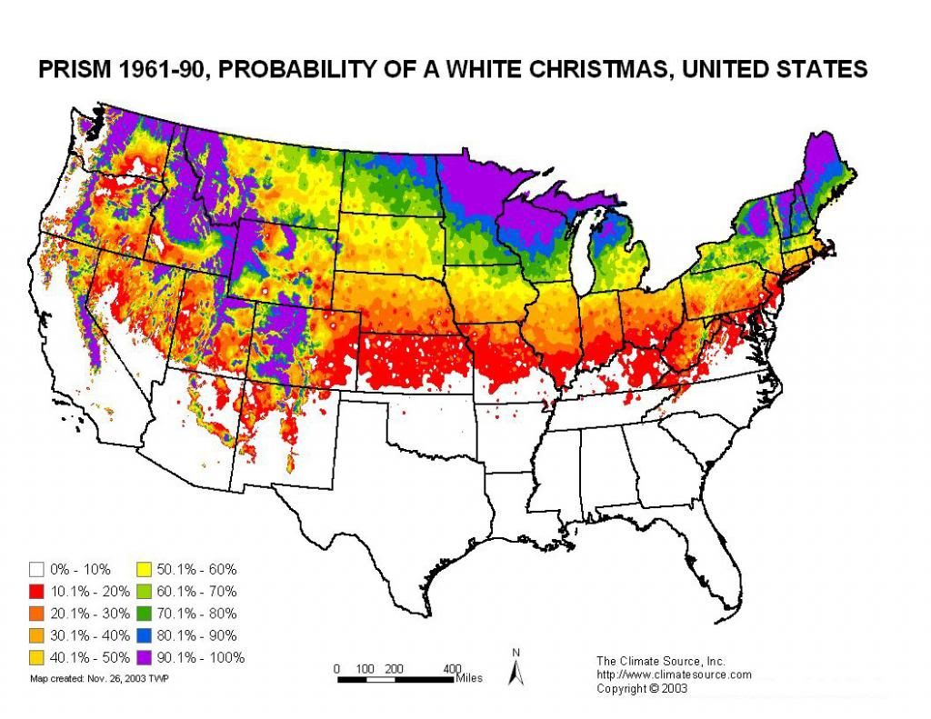
Probability of a White Christmas Map From Climatesource.com
With the recent melting of the snow It has one wondering if we will have our 2nd brown Christmas in a row. Above is the probability of a white Christmas set as percentages based on climatological historic data. Most of the area falls in the 70-80% range ( Green) but the further north you are the higher the chances Red Wing northwards falls in the 80-90% chance ( Blue) while Northern Minnesota and Wisconsin fall in the 90-100% Chance ( Purple ) Likewise as you go south of the areas chance of a white Christmas decrease significantly. I will have to dig up some records to see just how many times our areas has had more then 1 brown Christmas in a row.
Reported Rainfall amounts.
Austin 1.05"
Preston 0.80"
Dodge Center 0.56"
Red Wing 0.56"
Winona 0.53"
W Downtown Rochester-(My Station) 0.42"
Rochester Airport 0.41"
Cannon Falls 0.41"


No comments:
Post a Comment