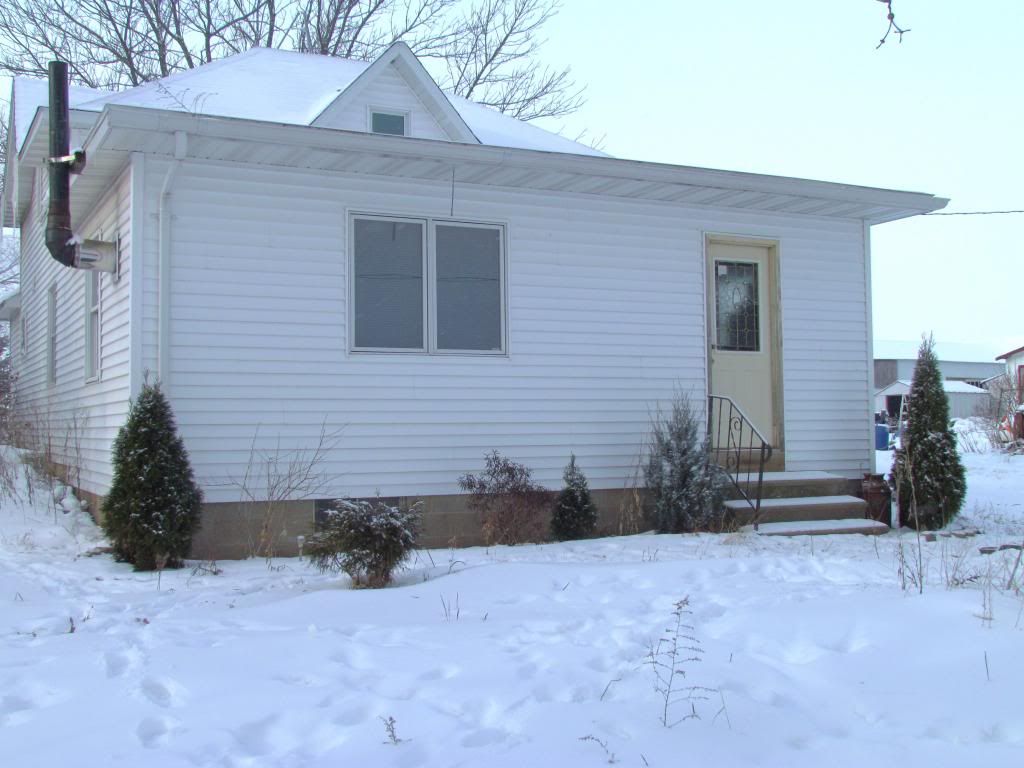
Hometown house Clayton,WI December 28th
A low pressure system moving across the Upper Midwest delivered snow to the region yesterday in what turned out to be a long range snow event that started Thursday night all the way through Friday. The snow was mostly light in nature but some moderate snows were seen. Accumulations ranged from 2 to as much as 4 inches across portions of the area. I watched the system unfold on radar from my Wisconsin hometown where I'm on break. I posted the photo above from the systems effects at my hometown house in Clayton,Wisconsin, where even we saw the snow here in Northwest Wisconsin. Interesting thing to note this is the longest stretch of cold and snow that Southeastern Minnesota has seen in quite some time!
Snowfall Reports
Minnesota City 4.20"
Winona 4.0"
Wabasha 3.30"
Grand Meadow 3.0"
Dodge Center 2.90"
Claremont 2.90"
Rochester Airport 2.80"
Zumbrota 2.50"
Byron 2.20"
Lanesbro 2.0"
Red Wing 2.0"


No comments:
Post a Comment