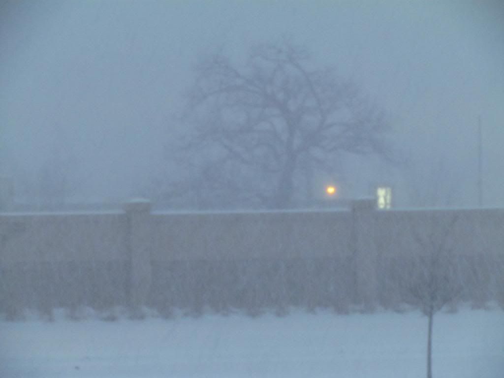
Photo of the heavy snow early morning February 5th 2013
We have definitely been thrown into a winter pattern that we have not been seeing for quite some time. This morning yet another clipper delivered a burst of very heavy snow dropping a widespread 2-3" across all areas, with the highest amounts being seen in central and east part of the area. Anyone that had to leave for work or classes before 9am was caught in this very heavy snow. The snow coming down at such a high rate it actually caused travel delays. The snow was from a clipper system and warm front in which the clipper was enhanced by abundant moisture which is located over the area. To put it in protective, most of the snowfall accumulations across the area occurred over an hours time span!
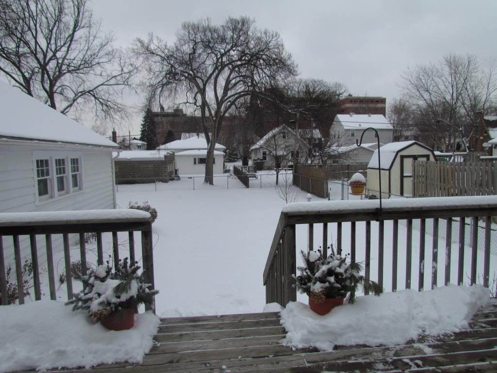
Backyard February 5th 2013
Looking at the backyard we have finally got a real winter scene going on out there, something we've been lacking since I moved here. This mornings snow burst brought 2.50" of snow making the monthly ( and weekly) total to 6.75" this is well over half of February average snow in under 6 days! The seasonal total has now been bumped to 21.75" The current snow depth here in Rochester is 5.50"
Area snowfall reports
Mantorville 3.50"
Theilman 3.50"
Cannon Falls 3.00"
Elba 3.30"
Peterson 2.70"
Hammond 2.50"
West Downtown Rochester-My Station 2.50"
Pine Island 2.20"
SE Rochester 2.00"
Winona 2.00"
Elton 1.50"
Red Wing 1.50"
Lanesbro 1.40"
Austin 1.20"


No comments:
Post a Comment