Snowy conditions February 22nd 2012
A blanket of 4-9" of new snow now covers the ground here in Southeastern Minnesota, which came in a storm that effected a larger part of the Midwest states. This storms history goes back to California where it originated. The storm organized into a major snowstorm near Colorado and spread significant heavy snows across a very large part of the country.
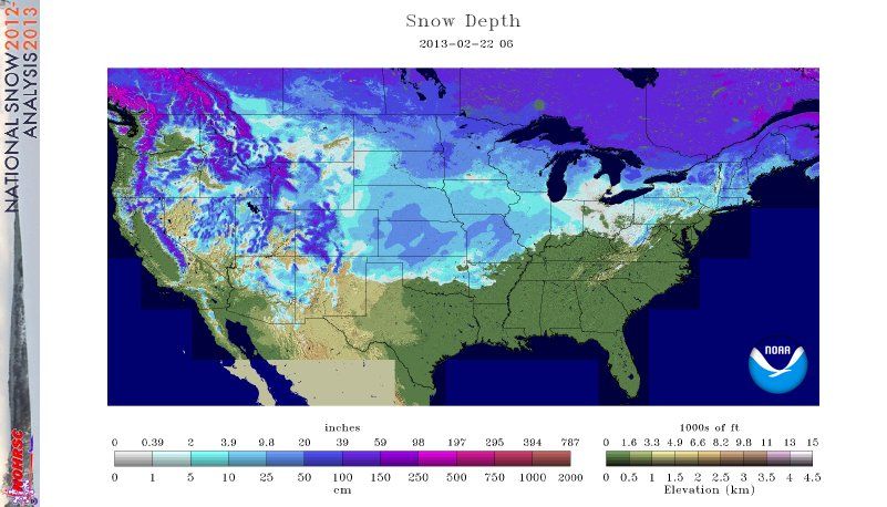
NWS Snowcover Map
The storm first effected Oklahoma, Kansas and Nebraska. Kansas City reported 10-12" of snow, which is abnormal for that region this time of year. The storm went on Northeast to Iowa, Missouri, Minnesota, Wisconsin Illinois were it continued to produce significant snowfall. The storm started to loose strength in Wisconsin where it produced lesser amounts. The storm produced a huge swath of snow across the country from just north of Oklahoma City,OK to Duluth,MN an extensive area that snow has snowcover. The above map shows it very well.
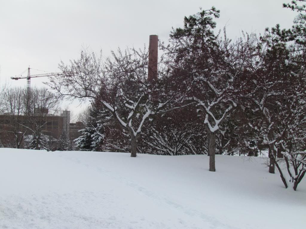
St Marys Park February 22nd 2013
Here in Southeastern Minnesota, snow began to move in around midnight Thursday Night. The snow pushed in and it quickly became heavy and lasted through the night time hours. By daybreak Friday most of the accumulation had occurred leaving hazardous travel and road crews having to find places to pile snow. The highest accumulations in the area were in desolated sections of the western parts of the area, but everyone saw at least 4" The snow had a "spring-like" feel to it as temperatures warmed to the upper 20s and lower 30s as the sunshine broke through the clouds. Putting some numbers out there for Rochester, 7.00" fell at my station with a water content of 0.41" This was the biggest storm in 2 winters. This month we have now seen 15.50" of snow which is way above the average of 8.70". For the season we have picked up 30.50" Well above last years 18" for the winter. We have 8.50" of snow on the ground with a water snowpack content of 0.96" so we have got some moisture for the spring melt.
Snowfall Reports
Entire Area
Mantorville 9.0"
Claremont 8.20"
Kasson 7.0"
Hammon 7.0"
Lewiston 7.0"
Harmony 7.0"
Highland 7.0"
Adams 7.0"
Lanesbro 6.60"
Le Roy 6.50"
Zumbrota 6.50"
Lake City 6.0"
Fountain 6.0"
Winona 5.90"
Wabasha 5.0"
Spring Valley 5.0"
Grand Meadow 5.0"
Cannon Falls 4.20"
Red Wing 3.80"
Rochester Metro
Byron 7.50"
Rochester Airport 7.20"
West Downtown Rochester 7.0"


No comments:
Post a Comment