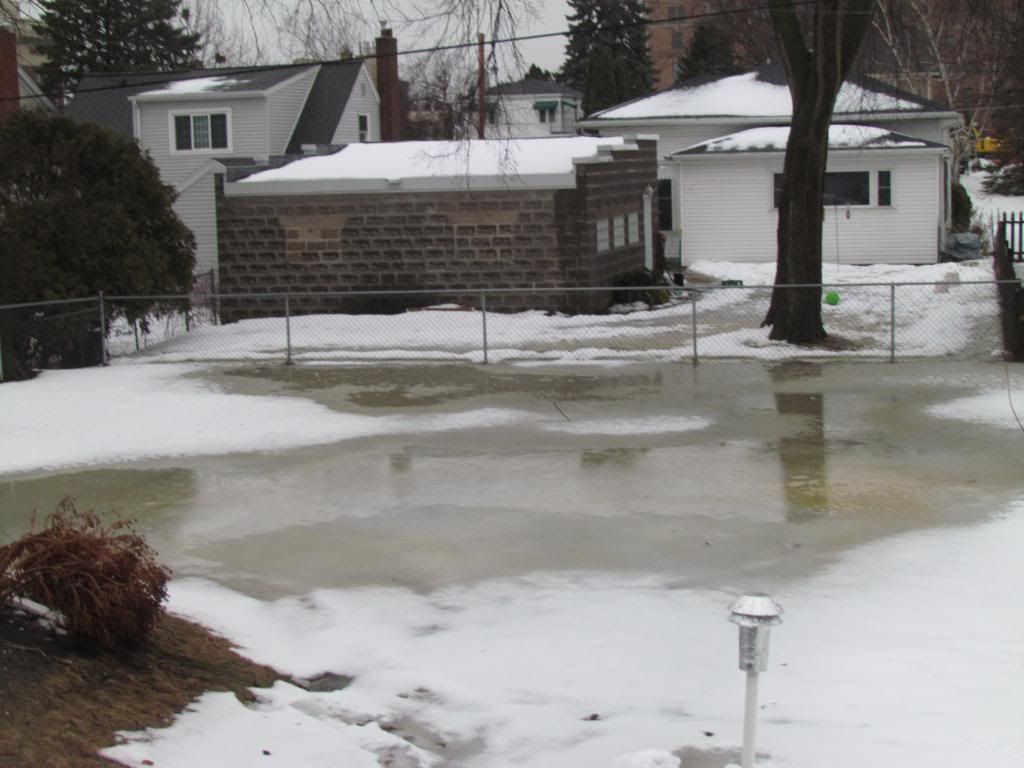
A unsual 1-2 punch event impacted Southeastern Minnesota early this week bringing significant amounts of heavy precipitation to Southeastern Minnesota in the past 3-4 days. First in the form of significant amounts of heavy rain fell from a storm system Saturday. Rainfall amounts ranging from 0.30 to exceeding 1.00" were reported, then as significant amounts of snow Sunday into Monday. Heavy snow developed with a snowstorm late Sunday into Monday which dropped significant to major, 6 to 12" amounts of snow on the area on top of the rain. The storm that lead to the significant rain originated in Colorado and moved up through western Kansas to about St Cloud,Minnesota. This placement sent plumes of warm air rich moist air northward out of Iowa. Rain heavy at times developed and lasted much of Saturday. There was bouts of moderate rain through out the day. Temperatures warmed to the mid to upper 30s. The highest temperature we warmed to was 37.F here in Rochester. All this preciptation at this current time could lead to spring flooding issues because with the ground being well frozen solid the rainwater just remained on top of the ground, ran off or soaked into the snowpack. The snowdepth here in my backyard here in Rochester lowered from 10.50" on Tuesday the 5th to 4.50" at the end of the rain/warmth Friday.
Rainfall Reports
Austin 1.47"
Dodge Center 1.28"
Red Wing 1.17"
Rochester airport 1.08"
W.Downtown Rochester-( My Station) 0.94"
Cannon Falls 0.66"
Preston 0.55"
Winona 0.35"
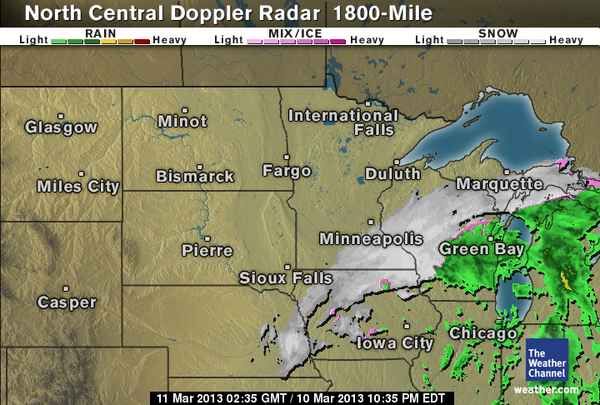
Radar from Weather.com
Immediately after the rainstorm Monday a new area of low pressure quickly developed and blossomed into a classic spring snowstorm directly over North Iowa and Southeastern Minnesota. This storm was hard to forecast due to the narrow corridor of snow and the pop up nature of the event. The storm ended up trended north at last second and the models did not pick up on it. Snowfall amounts ranged from an estimated 3-4" in the north where there are no snowfall reports to verify to reported amounts of 8-12" in central and southern parts of the area. The highest reported I came across was Spring Valley at a whopping 12.50" Temperatures dropped from the upper 30s at the start of the storm to 31-32.F producing very heavy bands of snow reducing visibilities significantly. Snowfall rates were some of the highest the area has seen in over a year ranging from 1-2" per hour. Thundersnow was even reported in parts of the area in convective bands along the Iowa boarder in Le Roy near the city of Austin!
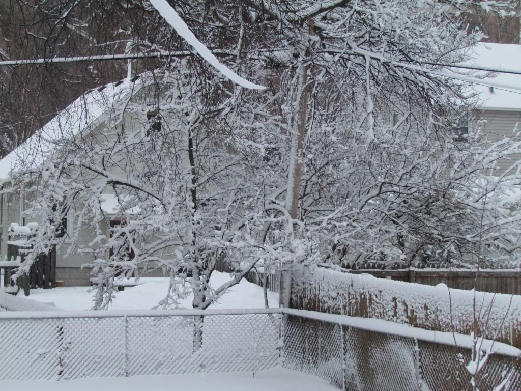
Backyard in March 10th-11th spring snowstorm
The snow developed Sunday evening was heavy by 7-8pm at night. Snow was of very wet nature and flake size was large due to temperatures being right around 31.F during the event of the snow. 7.25" fell in our backyard with this snowstorm. The snow has a very high moisture content 0.97" combined over the past 2 days with Saturdays rain and Sundays/Mondays snow, my station is picked up 1.91" of precipitation which is very usual. In my backyard we gained back all the snow we had lost. The snow depth rose from 4.50" back to 10.50" where it currently remains
Interesting notes:
My station received 0.94" of rain Saturday and 7.25" of snow Sunday into Monday with a water content of 0.97" this makes precipitation for the past 3 days at 1.91" which is very high for March. Most of this water soaked into the snowpack.
7.25" of snow fell today which brings the monthly total to 15.75" which is 6.85" above normal
Seasons total snow is up to 47.00" which is near normal
Snowdepth here in Rochester is 10.50" currently with a water content of
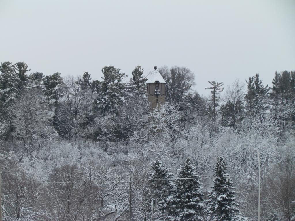
Snowcovered trees with the plummer house in the distance
Who ever said Spring doesn't come with snowstorms in Minnesota? It is actually fairly typical to get spring snowstorms in Minnesota. Even though temperatures are starting to warm, as more moisture becomes available and the storm track gets strong once again Minnesota becomes prone to spring snowstorms as the jet stream tries to move north. However despite the snowstorms there is usually a rapid warm up by the middle to end of the month in which the snowcover significantly decreases. The forecast shows temperatures will be in the upper 30s each day at the end of the week and into the weekend which will start to melt some of the snow we currently have. At least until our next snow.
March 9-10th snowfall amounts
Spring Valley 12.50"
Harmony 11.50"
Minnesota City 10.30"
Chatfield 10.00"
Marion 9.50"
Preston 9.0"
Rushford 9.0"
Dodge Center 9.0"
Rochester Airport 8.70"
Lanesbro 8.20"
Winona 7.50"
Kellogg 7.50"
Grand Meadow 7.30"
West Downtown Rochester-(My Station) 7.25"
Mantorville 7.0"
Claremont 6.70"
Oronoco 6.70"
Plainview 6.50"
Byron 6.50"
Wabasha 6.10"
Austin 5.0"


No comments:
Post a Comment