Many are starting to get exhausted with this winter weather that seems never ending at this point. Monday a quick moving storm system brought moderate to heavy snows once again into our area. This one was a different then our last few because this one came with very gusty winds 40MPH or over and significant blowing and drifting snow. The actual amounts of snow was not a problem but blowing snow made for very difficult travel. The cause of the snow was a low pressure system centered in Northern Minnesota. As this moved eastward gusty northwest winds and dropping temperatures were found on its southwest side. This storm was more like those we would experience in January and not 2 weeks from April. To add to the January-like weather very cold temperatures were seen behind the storm this morning as lows feel in the low to mid single digits. Typical highs this time of year are in the mid 40s.
Up to 3rd snowiest March at Rochester
La Crosse has not officially released anything regarding this information but with the snow we had yesterday we are now in 3rd place for the snowiest March in recorded history.
Snowfall and Wind Reports
Minnesota City 4.00"
West Downtown Rochester ( my sta.) 3.75" 44MPH
Rochester Airport 3.70" 40MPH
Cannon Falls36MPH
Winona 36MPH
Dodge Center 38MPH
Theilman 3.70"
Lake City 3.50"
Red Wing 3.50" 33MPH
Claremont 3.40"
Wabasha 3.20"
Elgin 3.20"
Preston 3.20" 39MPH
Spring Valley 2.60"
Austin 2.40" 37MPH
Lanesbro 2.0"

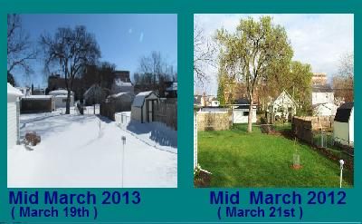
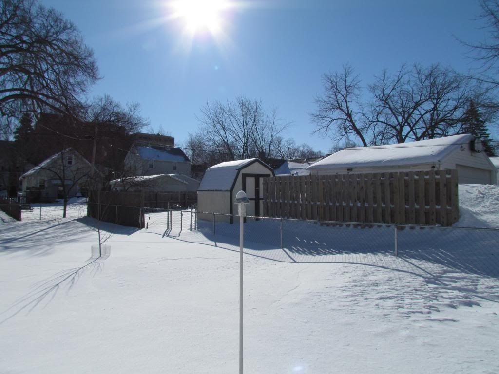
This year is completely opposite of last year. Taking a look at the photo above shows the huge difference in weather from this year to last year. To emphasis on this extreme difference, this time last year we were, mowing the lawn for the 1st time of the season. Early Trees/shrubs like Lilacs, Maples, Willows were leafing out. Magnolias and Daffodils were in full bloom. This year we have a thick snowcover and cannot even see the lawn.


No comments:
Post a Comment