Image credited to wzzm.com
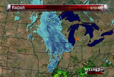
A significant March snowstorm-The largest snowstorm to effect the area in 2 years began Monday with the 1st wave and really ramped up in a second wave that impacted the area with heavy snow and significant snowfall accumulations early Tuesday. The entire are received significant to very low end major snowfall amounts between 7 to as much as 12 inches of fresh wet snow. 12.30" of snow from both Kasson and Mantorville are the highest amounts I came across. The snowstorm its self had a very spring or March-like feel to it in that the snow was sticky and wet. This storm originated over Northwest Canada and rode the jet stream southeast from North Dakota southeast effecting around 12 states regionally. The heaviest amounts were actually fairly compacted in an area from Eastern North Dakota to Central and Eastern Minnesota and Wisconsin and it actually continued eastward to the east coast. The higher amounts were centered over an area only about 150 miles thick along this entire path
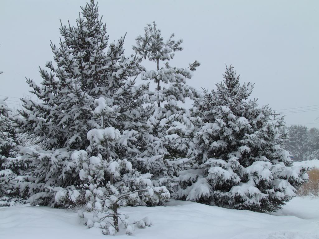
Snow covered pines at the SMART Gardens at Rochester Community and Technical College
This storm was kinda complex for our area in that it was a northwest system that merged with energy from a more southern storm. After this merging the system moved east and weakened as it moved south east to Illinois and Indiana all the way to the east coast. This movement and merging of the storm brought our 1st wave of snow in Monday afternoon and it brought generally 1-3" It was mostly light in nature and ended by the evening. The second wave re developed to our west was much more heavy and more significant. Heavy snow fell through much of the overnight and early parts of Tuesday. 6-9 more inches of snow accumulated on top of what did during the 1st wave getting to our areas 7-12" storm total. Snow came to an end Tuesday evening and there was no real cold air filtering in behind this storm, another feature of later winter storms.
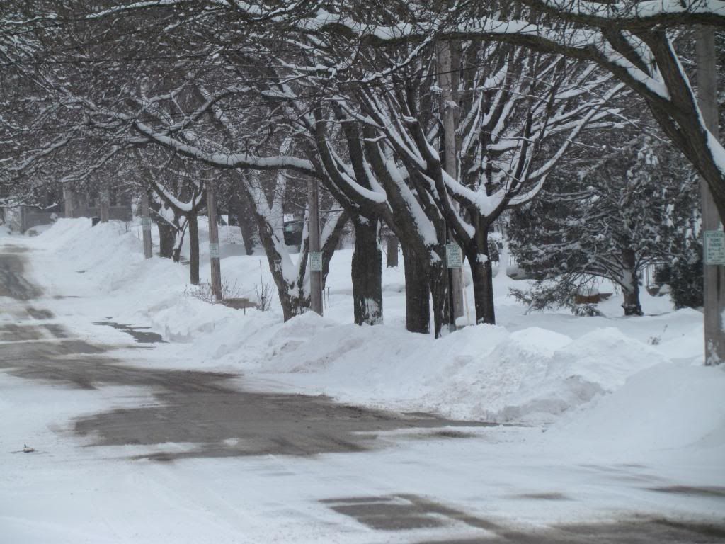
Snowpiles along the road in my neighborhood March 5th 2013
Effects with this storm were plainly set on traffic and ground travel issues. Many cars got stuck right away Tuesday morning and travel across the city took much longer then normal but for the most part road crews were able to get to work and the warm nature of the storm allowed snow to melt off treated roadways quickly. Winds were not an issue at all with this storm so blowing and drifting was not a problem. Overall this storm was very typical for this part March and it classified as a late winter/early spring storm. This moisture we are receiving should really help lakes and rivers in the spring melt and add moisture to the atmosphere which could aid in spring rains later on.
Crunching the numbers
My location received 8.50" of snow during this storm. This is the highest total in 2 years. This amount is most of the 8.90" March monthly total in 1 storm. This makes the monthly total for March so far 8.50" and the seasons total to 39.25" so far. I estimate the snowpack to b at least 10" deep currently.
Snowfall Reports-Entire Area
Kasson 12.30"
Mantorville 12.30"
Winona 12.10"
Minnesota City 11.70"
Lake City 11.50"
Spring Valley 10.60"
Reeds Landing 10.00"
Red Wing 9.40"
Foutian 8.50"
Goodhue 7.80"
Austin 7.30"
Le Roy 7.00"
Peterson 6.50"
Rochester Metro
Stewartville 9.30"
Rochester Airport 8.90"
West Downtown Rochester ( my station) 8.50"
Northwest Rochester 8.50"


No comments:
Post a Comment