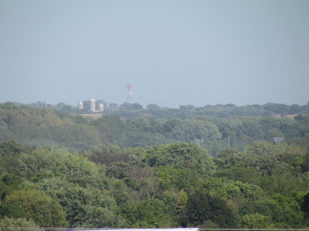
Landscape September 11th 2012
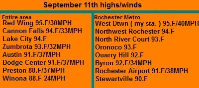
Summer continued to make it's presence known that it is still here today as highs raised into lower to middle 90s. These temps were blowing in on strong south winds gusting to nearly 40MPH. Today's high were about 20 degrees above the normal highs which typically this time of year are in the mid 70s. Average low temperatures are in the mid 50s this time of year. The cause of the warmed was hot air pushing ahead of a cold front which will plow through the region today, bringing much cooler weather and scattered showers through out the day and through this week. Long range models show a much cooler tread for most of the rest of this month so it is quite possible this may be our last 90 degree highs, which some people may be happy to hear after an extreamlly hot summer.

Highs/Wind gusts September 11th 2012
High across the area ranged from the lower 90s in the south to the middle 90s in the north. Part of the reason for the flop in temperatures is because there was less wind causing less mixing in the north. No records were actually broken today in our local area but many near ties were seen. Father north Minneapolis/St Paul Airport had a high of 95.F 1 degree shy of tieing a record of 96.


No comments:
Post a Comment