The area was highly impacted by severe thunderstorms on Tuesday rolling over into the early Wednesday morning hours. The storms caused everything from extreamlly large hail over 2 inches in diameter to very high winds causing widespread damage. This report will break down the 2 events into 2 separate stories which will be in order of time they occurred.
Early Afternoon Very Large Hail Winona and Fillmore Counties
The 1st bout of severe weather erupted from a front pushed through the area. The storms in the afternoon mostly produced significant hail. Thunderstorms exploded over Western Winona, and Northwestern Fillmore County. The storms pushed east and south where they quickly started dropping significant hail in the St Charles area. One report listed hail over the sized of golf balls southwest of Utica This particular cell continued to push east which eventually produced large damaging hail all along the I-90 corridor. Two other cells developed, one west of Winona which produced golf ball sized hail in the community of Stockton and quarter sized hail in the city of Winona. The second sell developed over Preston, where it 1st dropped pea sized hail there covering the ground in Preston. The thunderstorm grew which eventually produced tennis ball sized hail north of the community of Canton. This report was by far the large hail reported in the 6 county area. The storm continued to push southeast eventually developing high winds and continued hail Northeast of Mable until it moved out of the area into Iowa. The hail caused damage to crops, trees and landscapes as well as to property like siding and windows on homes and cars.
Storm Reports
5 miles N Canton 2.50" Tennis Ball sized hail
6 miles SSW Utica 2.00" Hen Egg sized hail
Stockton 1.75" Golf ball sized hail
3 miles W Utica 1.75, Golf ball sized hail
Goodview 1.00" Quarter sized hail
Winona 1.00" quarter sized hail
4 miles NNE Mable 60MPH wind gust, 2.00" hail Hen Egg sized hail, car dented.
Large squall line forcing its way into the city of Rochester September 5th 2012
As the 1st round a storms dissipated a stationary front remained over the are, setting up stage for the 2nd round of thunderstorms. The second round was a powerful squall line which produced widespread high winds from 55 to 70MPH across the area, but especially across Mower, Dodge and Olmsted counties. They initially developed and started in South Dakota in the afternoon hours of the 4th and pushed all the way across Southern Minnesota through the evening hours, arriving in Southeast Minnesota around and after midnight.
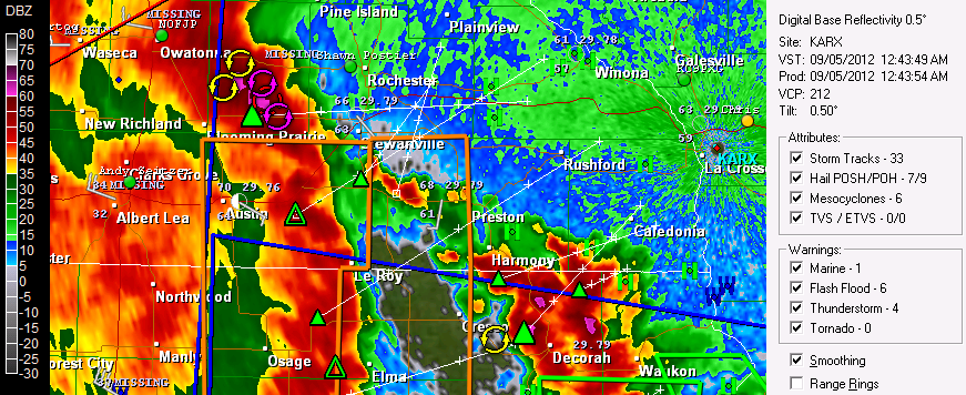
Radar shot of the squall line pushing through Mower and Dodge Counties September 5th 2012
One radar the storms seemed to intensify as they pushed into Dodge County and Mower Counties. The first reports of winds were ranged from 53 to 59MPH at Austin and Dodge Center. One of the biggest problems with these storms were area wide power outages. The 1st reports of power outages were in Austin and Kasson along with tree limbs down. The storm then pushed into the Rochester Metropolitan area where it send very high winds ranging from 61MPH at the International Airport to as high as 74MPH at St Marys Hospital in West Downtown and my neighborhood. Widespread tree damage and city wide power outages were reported. Power outages were reported in Byron, Northwest Rochester, West Downtown, Elton Hills, Emerald Hills and Meadow Park neighborhoods. Some places remained without power for 10 hours lasting into most of the next day. Most of the damage from the winds were large limbs and trees down blocking roads. Large tree limbs and trees falling on homes and cars damaged property, I've seen and heard everything from cars being significant damaged to roofs having damage from falling limbs. Some reports in the city included, Several large trees blocking several roads on Rochester SW side 6th AVE SW And Apache Mall area, Large Branches down in West Downtown with power flashes seen. Trees down in in Emerald Hills, Trees Down in Northwest Rochester. The storm eventually left the Rochester are and continued to produce strong winds. 50 to 56MPH Winds were reported at Preston, Harmony, Mable and Plainview before the storm finally weakened. Spotty damage was reported in these areas.
Power flash with power out in my West Downtown Neighborhood. September 5th 2012
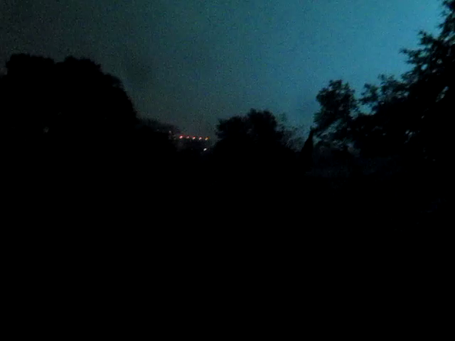
The best way I can describe this storm is hurricane-like because thats what it felt like to me. This storm was different then other wind producing storms, besides being the far worst that I've experienced here, the wind was embedded with the rain giving it that hurricane look in my eyes. The direction of the wind because of the shape of the storm was out of the WSW and gusts them selves were not sustained but long bursts of winds that seems to come from several different directions, which is supposed the be relevant of a mesocyclone. The winds were so powerful I could hear it blowing hard through the trees which made a roar sound as the gusts blew through them, The amount of debire and leaves flying through the air was also very noticeable. and it lasted a very long time. As I was filming the storm go through I observed power flashes from transformers blowing in the distance, which I did not fully realized until after a few flashes becuase the flashed had no sound and looked like lighting. Eventually the power went completely out and staid out in my neighborhood for 3.50 hours, which I later learned that a large tree falling 2 blocks from here onto the power line was the cause. The closet wind gust reporting station to me is St Marys Hospital which recording a wind gust of 74MPH. The hospital can be seen as the lights in the photo above, I will admit that the winds were likely a bit higher on the St Marys wind anemometer because it is 8 stories above the ground. Winds closer ground level were probably a bit lower.
I have 2 videos of the storm as it blew through my neighborhood. This first one is of the strongest wind gusts that could be seen in view when the power was still on. The video it's self was taken on a protected east side of the house while the wind direction was WSW. Because of a wind tunneling effect of an apartment building to the north of our house it was funneling the wind between the garage and the house causing the wind here in this video to be actually blowing out of the north. Higher wind gusts noted in the video are when extreme bursts of wind were pushing between the buildings.
Strong wind gusts with power flashes and power outages.
This second video is of the very high winds wind taking out the power my neighborhood. Several power flashes can be seen as roaring wind gusts blow through. The power goes on and off twice before remaining off. The lights on the hospital were not effected becuase they have emergency generators which keep the power on.
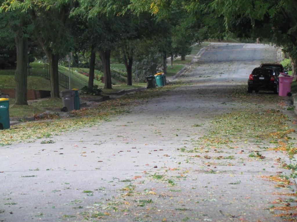
Leaf litter from high winds SW Rochester,MN
This is the view looking up my street the next morning. A significant amount of leaves blew of trees which was heightened because of trees loosing some leaves from drought stress.
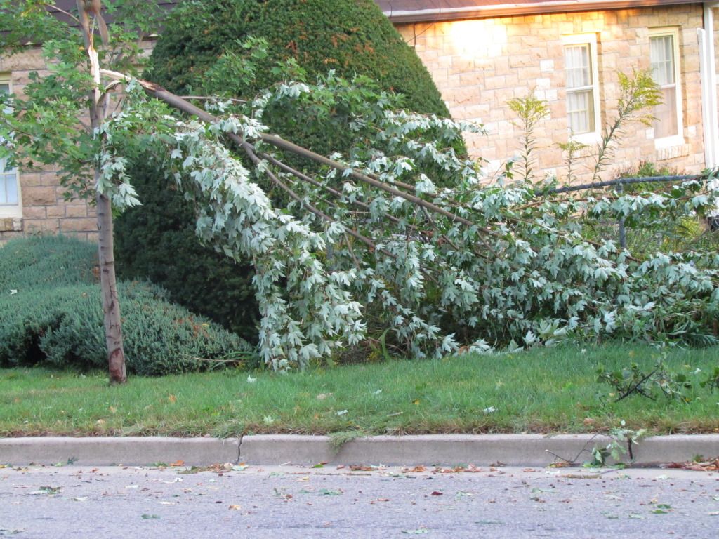
Tree snapped SW Rochester
Located in my neighborhood.
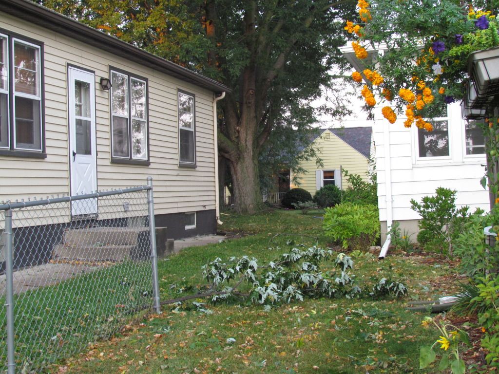
Branch down in our yard.
The worst damage in my neighborhood was a large branch that fell into a car smashing a window out at the corner of the block from me. This photo taken at our yard was taken more because of the location of the branch. It flew quite a distance from the tree in the backround. The wind direction would be from the corner of the yellow house strait towards the camera, but the marigolds to the upper right are blown down from the north wind of the tunneling effect of the buildings.
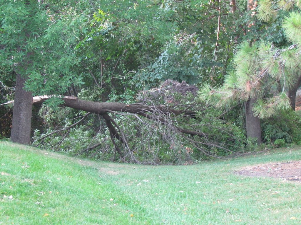
Large section of a tree down at St Marys Park.
This was the most significant tree damage that I took photos off. I worst damage I came across was a very large mature basswood tree which fell and caused damage to a retaining wall and a car.
Storm Reports
West Downtown Rochester 74MPH wind gust, large branches down, power flashes with power out.
Rochester Airport 61MPH
Southwest Rochester Trees blocking roads in the Apache Mall Area and 6th ST SW
Emerald Hills Trees Down, power out.
Northwest Rochester Trees Down, power out.
Meadow Park, Large branches down, power outages.
Byron, Large branches down, power out.
Dodge Center 59MPH
Preston 56MPH
7 miles N Mable 55MPH
Austin 53MPH, Branches down, power outages.
Plainview 50MPH


No comments:
Post a Comment