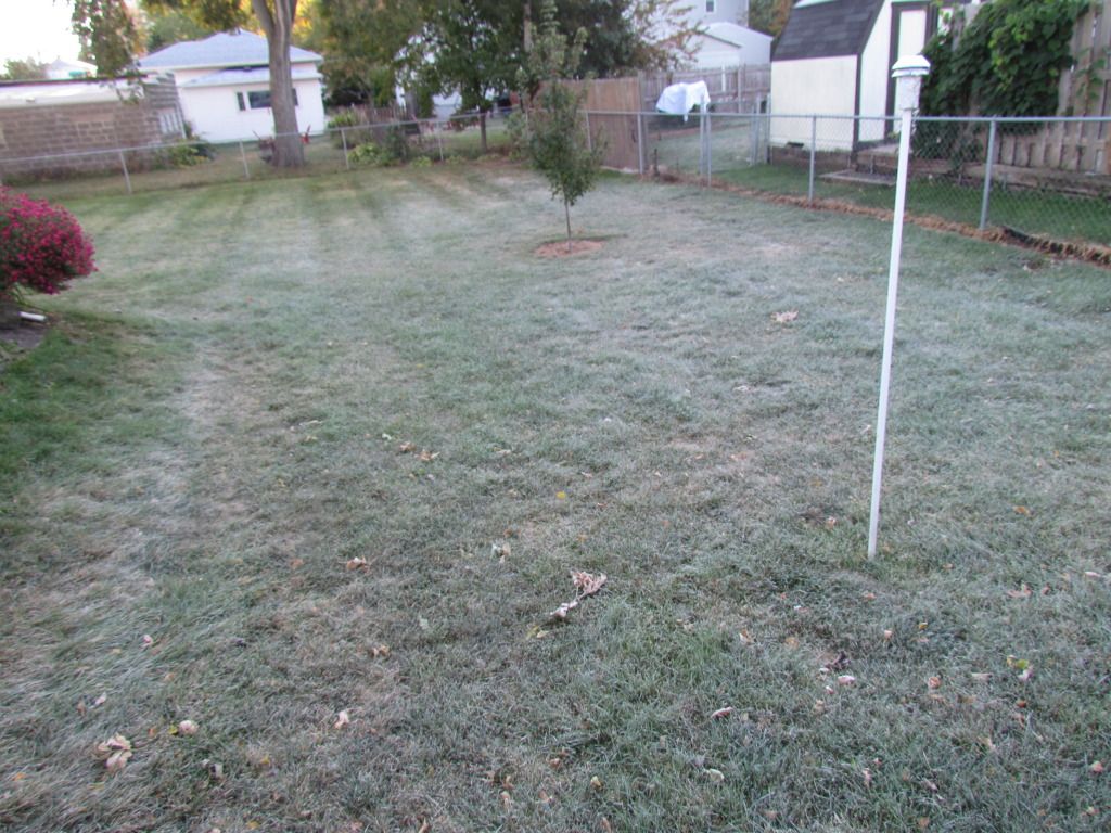
It was a cold morning throughout the area today as the 1st very cool frosty night of the season occurred behind a system that brought the 1st snowflakes to Northern Minnesota. The cool conditions send temperatures falling into the upper 20s to lower 30s across most of the area, ending the growing season for most places. What is interesting though, corn across the countryside was completely un effected by the freeze because it has already matured because of a very early planting season. In my backyard we had a hard frost, the backyard was completely covered with frost, tender plants I did not cover to protect it had fair amount of damage, about half of my pumpkin leaves were hit, still it was not a completely killing frost in because were kind of protected by the city. This frost/freeze came a little earlier then normal for what is expected in Southern Minnesota. Early October is more typical for the first hard frost. Compared to last year temperatures of this magnitude it occurred earlier on the 15th of September.
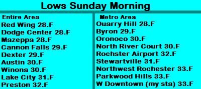
Lows reported Sunday Morning.
Here is a list of low temperatures seen. The coolest reading area wide was 28.F at Dodge Center, Mazepaa, and Dodge Center. It staid a bit warmer toward Preston where the low was 32.F. In the Rochester Metro, inner city areas had lows around 33.F, while outlying areas had lows ranging from 28 to 32.F.


No comments:
Post a Comment