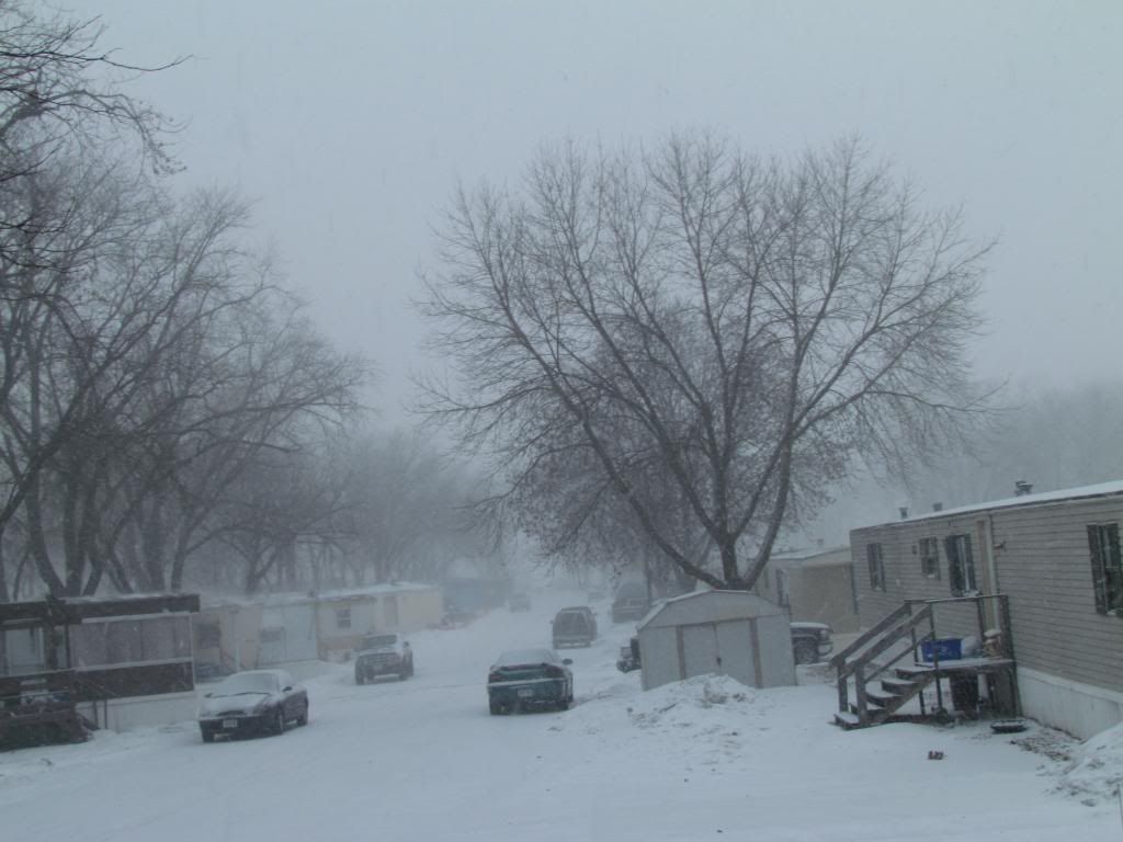
Snowfall January 20th 2014
Yesterday a strong arctic cold front made its way slowly through Iowa. The day started off with sunshine and highs ranging from about 32 to as warm as 37.F in the south. Temperatures cooled slowly through the day and then in the afternoon a fast moving storm system ahead of the arctic cold front and produced snowfall in Central and Eastern Iowa. The snowfall actually blossomed over Central Iowa near Marshalltown and came down quite heavy at times. Interesting to note that at the same time we had one full mild day in the 30s to our North up in Minnesota and Wisconsin had temperatures in the single digits at this same time. However it didn't take long to reach us. After about 9pm Temperatures nosedived to below zero levels in all areas by Morning Tuesday. Strong gusty winds of nearly 40MPH. The highest gust in the area was from Waterloo-Cedar Falls with a gust of 37MPH, this blew in these cold temperatures from the north and did cause some significant blowing snow in certain areas. This new snow that now covers the area brought the return of full snowcover to the entire area. Snowdepths of 4-8" of areas of the far north to as little as 2" in the south, all of which is from the last snowfall. The snowfall total of 1.70" here in Hiawatha brings the seasons total to 18.95" which is only 11.05" away from the seasonal average of 30" Below is a list of snowfall totals seen from this event.
Coggon 2.70"
Independence 2.50"
Iowa City 2.50"
Marion 2.30"
Atkins 2.20"
Swisher 2.10"
Monticello 2.0"
Anamosa 2.0"
Waterloo-Cedar Falls Airport 2.0"
Washington 2.0"
Wellman 2.0"
North English 2.0"
Cedar Rapids 1.80"
Hiawatha 1.75"
Bertram 1.50"


No comments:
Post a Comment