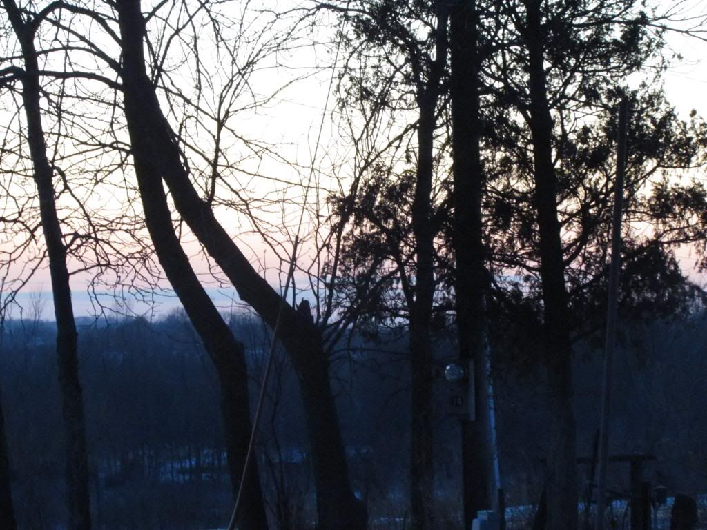
Cold Evening January 7th
We are now on the upward trend side of an arctic outbreak that hit the region and our area starting on Saturday. According to multiple weather agencies the cause of the arctic outbreak was literally a piece of the polar vortex from the Arctic Circle broke off and moves south as a large area of high pressure that settled over the middle of the country. The full blast of this arctic outbreak arrived Sunday into Monday when temperatures fell into the middle to upper teens below zero and highs remained well below zero through Monday. Once it fell below zero Sunday temperatures remained below zero through Tuesday afternoon generally ranging from -10 to -5.F for highs. The cold was ridden down on very strong winds Sunday the 5th when winds gusted over 40MPH at time also causing blowing and drifting. The worst of the wind chills were 40 to 50 below zero. Most area schools and even some businesses closed as a result of the cold and people with old car batteries were stranded. This cold snap was well advertised and well warned, however it was a little on the lighter then forecasted side here in Eastern Iowa. The majority of the extensive advertising for this cold snap was for the forecasted wind chills as well as because it has been quite a few years since its been that cold. I happened to have spent the entire cold snap up in Northwest Wisconsin where the air temperatures fell to the coldest level I've seen physically with a low of -28.F below at the nearest official station in Rice Lake,WI. Wind chills there were near -50.F at times. I did do the hot water thrown into cold air test and not much of that 3 cups of water I threw made it to the ground! The good news is we can expect a significant warm up for the area this week with highs nearing 40 by Sunday. Below is a list of coldest lows seen / along with coldest wind chills and gusts associated with this airmass.
Manchester -20.F
Waterloo Airport -19.F/-45.F 37MPH
Monticello -18.F/-46.F 38MPH
Vinton -18.F/-46.F 33MPH
Independence -18.F 39MPH
South Waterloo -18.F
Mt Vernon -18.F
Marion -18.F
Cedar Falls -17.F
Cedar Rapids Eastern Iowa Airport -17.F/-40.F 40MPH
Hiawatha -16.F
Williamsburg -16.F
Downtown Cedar Rapids -16.F
Coralville -16.F
Iowa City -15.F/-41.F 38MPH


No comments:
Post a Comment