This started off as a significant potential day for a high end hail and wind event as the SPC issued a high risk for part of Iowa. My storm chase partner from Minnesota Alex W. picked me in Des Moines at 5pm by this point storms were already ongoing and had just did significant damage in the Omaha, Nebraska metro and were moving ESE south of Osceola. We caught up with the storm West of 35 near Leon where we watched it approach, Tornado warnings were issued, but features were hard to see due to rain. We continued to stay on this cell and we followed in ESE to Lamoni where it finally impacted us and we saw impressive high winds and hail larger then quarters.
Video of strong winds near Lamoni, Iowa
This is a video of some of the highs winds that were seen as the storm moved into the Lamoni area. Hail larger then quarters fell there as well.
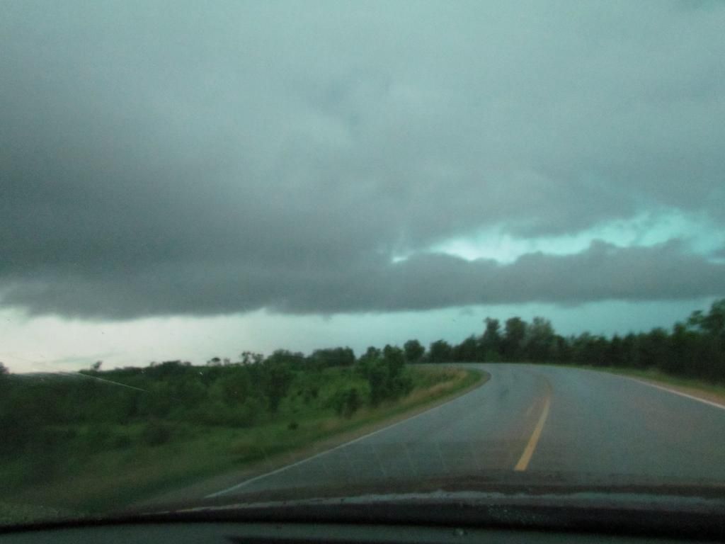
Photo of a wall cloud South of Ellston, Iowa
After the 1st storm above finally turned into a complete bow echo and moved SE towards Missouri we deiced to go to Leon and wait and see if more storms coming in from the west were going to be worth staying down for. When a tornado warning was issued for the storm near Mt Ayer we began heading west. South of the small town of Ellston we saw this lowering and high winds as it approached. We got stuck at some dead end roads so we let the storm pass and we called the storm chase over at this point.

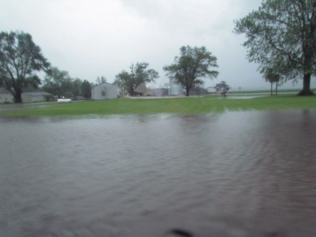
High water Davis City, Iowa
There was sigificant amounts of rain over far southern Iowa 3- 5" of rain fell over this area resulting in the flooding seen here. Severe Storms trained over the same one after another area on a warm front that was draped over Southern Iowa.
Here is a list of reports from the areas were were in
1 mile E Lamoni 1.00" hail
2 miles S Lamoni 2.50" hail


No comments:
Post a Comment