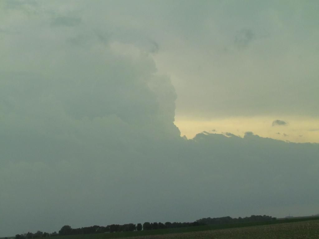
Storm structure as things starting to fire June 17th 2014
Yesterday there was a significant severe weather outbreak most of Iowa and Nebraska where the town of Pilger was heavily damaged by a strong tornado. In Iowa it started in the far northern part of the state, then progressed southward as storms broke away from the stationary front. Several tornadoes were reported and many areas have extensive tree damage from high winds. Major flooding was also an issue for some towns. I went storm chasing yesterday and met up with my friend Dave W in Clarion. I could tell it was going to be a good day because I could tell a boundary had just lifted through this area and we had very strong southeasterly winds and clearing skies to the south of Clarion. Temperatures were in the lower 80s where we were and just under 90 to the south in Des Moines. We left Clarion at around 1pm, where I left my car which made for a fun night later. We heading West down 18 to Spencer towards some storms that were just developing on radar ( as seen above ) We caught up with the more southerly storm which we watched blow up on radar near Cherokee and quickly become warned. We caught it at Greenfield when it was warning for a tornado. A funnel cloud was reported of which I did not see because we were near Webb, but we did see hail, and some very fast moving clouds and high winds as that storm and another storm from the south merged with it. At the same time storms that were ongoing in along the boarder were moving/backbuliding southward and eventually turned into a huge line with tornadic segments.
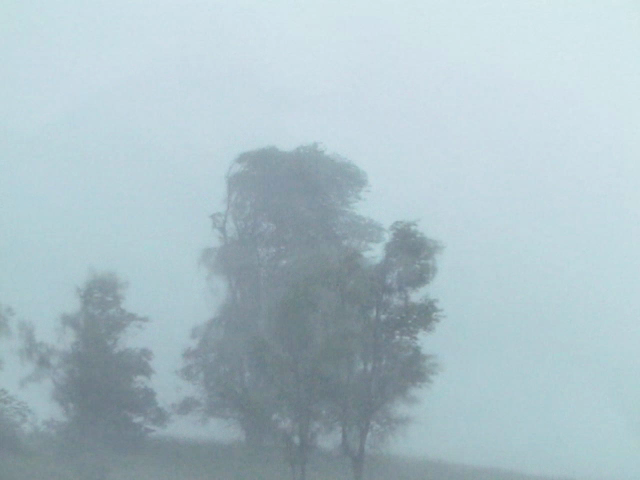
High winds June 16th north of Sioux Rapids, Iowa
As the storms formed more into a line it became a very high wind event. The image above was taking north of Sioux Rapids where we ran into strong northerly winds from storms that were passing though. We also saw hail in this area that was the size of quarters.
Storm footage from north of Sioux Rapids, IA
These are the strong winds which were taken in the same areas as the image above. Later on I did notice a hail stone in the bottom of the image appears to be a fairly good size that bounced off the ground. Down the road numerous trees were down in Sioux Rapids.
Tornado sirens sounding in Pocahontas, Iowa June 16th
As we drove south away from the on coming line we staid around the south side of the back building storms, several storms produced funnel clouds and tornadoes which we did not see. Above, sirens were sounding in the town of Pocahontas for a storm capable of producing a tornado that was north of town. This was the 1st cell. After we had left another cell did produce a tornado north of the city. We continued down highway 3 through Humbolt and then we heading towards my car back in Clarion. There was significant storm damage around Clarion, power was out to most of the city as power lines were blown down and trees were down widespread across the city. This is where a problem began for me. I had more then enough gas to make to the gas station across the street from where I was parked but there was no power to pump. I drove to another gas station 12 miles down the road, on the way we noticed an RV camper was flipped with no one inside. Got to the next gas station off 35 Near Lamiter and it was also without power, by this point my empty light came on, but I decided to give it one last shot and drive to Dows to get gas, but it like many other North Iowa towns, it was also without power, so I became stuck there for 5 hours before family, 78 miles from Des Moines came up with some gas so I could go to the next store and fill up. Next time I better fill up before storms arrive. While being stuck there I heard of many stores of major damage in many communities, including Mason City airport being without power, and high tension wires down around Dows, and driving down the freeway lots of blown downs signs could be seen and tree damage. Theses storms went on to hit Waterloo and Cedar Rapids. So in total for the trip we saw was, high winds, lots of storm damage and hail.
Reports from storms we were on
Peterson, Golf ball sized hail
Sioux Rapids, Numerous trees down 70MPH wind gust
Gilmore City,Tree limbs down
Greenville, Funnel clouds
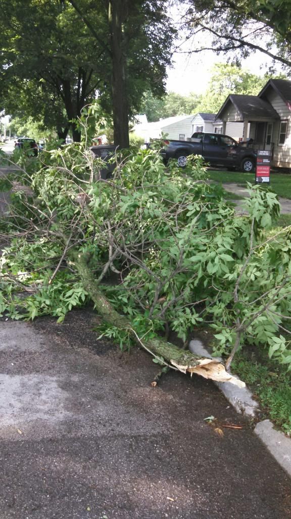
Storm damage in Des Moines June 16th 2014
Meanwhile back in Southern Iowa, the local area also had severe thunderstorms as another segment of storms formed into a bow echo that hit the Des Moines metropolitan area. The bow echo went across the entire state of Iowa, but an enhanced area of High winds from 60 to 65MPH hit from near Boone and move southeastward through all of the Des Moines Metro. Widespread damage mainly in the form of tree branches were reported down. A 74MPH wind gust was reported at Ankeny Golf course. Tree Damage was reported in West Des Moines, Des Moines, Ankeny, Urbandale and Altoona and 14,000 were without power across Des Moines at one point. 27,000 across the state. While driving into the city late Monday Night after the storms, I did notice the Euclid Ave area was without power. In my neighborhood there were lots of large branches and 1 tree fell at the top of the block. 0.74" of rain fell with the storm. Clean up will continue widespread across the state over the next few days as many areas were impacted.
Local Reports:
Ankeny Golf Course 74MPH wind gust along with dime sized hail.
Dallas Center 10 to 12" diameter tree down along with 2 telephone poles
Altoona, 12.50" tree down
Des Moines, large tree limbs and trees down, 14,000 without power
West Des Moines, Tree limbs down
Prairie City, Trees and large tree limbs down
Urbandale 62MPH wind gust
South Des Moines, 8" tree down, several large limbs down
Pleasent Hill 8" tree limb down, power flashes reported
Monroe 58 to 65MPH wind gust, moved heavy patio furniture
Lake Red Rock area, 62MPH


No comments:
Post a Comment