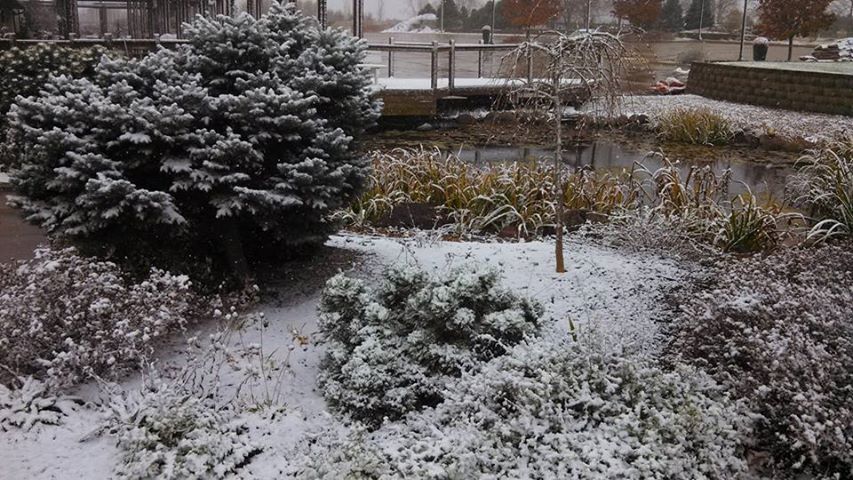
Snowfall at the Culver's Display Garden Marion,IA
An arctic airmass slammed into the region yesterday bring moderate heavy snow, strong northerly winds and dropping temperatures through the day on Monday. Monday morning started out mild and in the lower 40s. The cold front pushed through the the early afternoon hours and by 12pm Heavy Snow bands were moving through the area and temperatures fell into the lower 30s and upper 20s. A quick 0.60 to 1.00" of snow fell in a small but intense band of snow that moved from Minnesota through the state of Iowa. Skies cleared Tuesday night as the coldest night of the season so far was upon us. Lows fell into the into the lower teens and upper single digits, which allowed most of the snow that accumulated Monday to remain on the ground through the night adding to the Winter-Like feel., and now small ponds now have ice on them. This weather reminds me of my Northwest Wisconsin hometown. Below is a list of snowfall reports and lows seen.
Hiawatha, 0.75" 13.F
Cedar Rapids Eastern Iowa Airport, 0.70" 12.F
Solon 1.20" 12.F
Willamsburg 0.60" 12.F
Waterloo-Cedar Falls 0.60" 8.F
Independence 10.F
Iowa City 0.50" 16.F
Monticello 14.F 0.75"
Vinton 12.F 0.75"


No comments:
Post a Comment