
Iowa Weather Network Warnings Map

Winter Weather Advisory
Thursday, November 7, 2013
November 5th/6th Sigificant Rainfall Ammounts & Gusty Winds
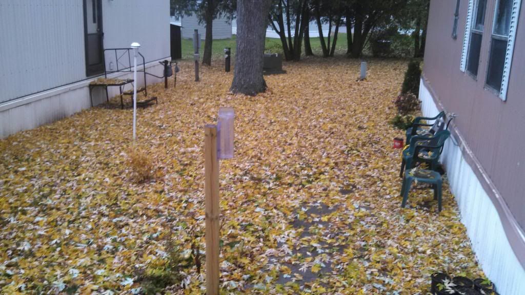
Yard November 5th 2013
Moderate to significant rainfall amounts were seen across Eastern Iowa this week all thanks to a vigorous low pressure system that moved through on Tuesday and Wednesday. The low tracked from Nebraska northwest of Des Monies then into Minnesota, this lead to mild southern air the be forced northward Tuesday. Temperatures actually rose through the day and into the night time hours, peaking around 1am with highs in the upper 50s to near 60. Waves of steady to moderate rain moved northeast through the area. Most places reported at least 0.30" of rain with the highest amounts seen in the central and northwest parts of the area, where some spots reported well over 1.00" amounts. For most communities this was the highest rainfall amounts since Mid Summer. Farther north on the storms northwest side, temperatures were much colder and snow fell, in some cases significant amounts up to 10" in parts of Southwest Minnesota. Snowfall was reported as far south as Northwest parts of Iowa near Estherville and Mars City areas 1-3" snowfall amounts were seen there. Here in Eastern Iowa, it was far to warm for snow during the time the precipitation was falling so it was all rain. It should also be noted that as the low strengthen and spun up stronger, southeasterly winds became quite gusty across our area peaking around 8pm Tuesday Evening. Sustained winds were in the 20MPH range with gusts up to 30MPH. Wind and rainfall amounts can be found below.
Independence 1.62" 28MPH
Waterloo-Cedar Falls 1.21" 28MPH
Easter Iowa Airport-Cedar Rapids 0.72" 29MPH
Hiawatha-My Station 0.64"
Iowa City 0.47" 28MPH
Vinton 0.61" 31MPH
Washington 0.41" 28MPH
Monticello 0.31" 30MPH
Subscribe to:
Post Comments (Atom)


No comments:
Post a Comment