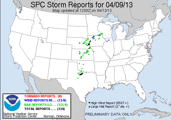
Image from SPC
Extremely active weather pattern over the Midwest over the past few days all from a slow moving storm system that spread a variety of changeable weather conditions from heavy rain and severe storms to the south and snow and ice to areas the north, some areas even had all of these conditions met!
Tuesday April 9th Severe Storms and Heavy Rain
A stationery front along with a vigorous storm moving through the region sparked an area of thunderstorms in central Iowa Tuesday afternoon. This area of storms move north to the Minnesota/Iowa boarder before turning east. Boarder communities such as Le Roy and and Harmony were impacted with severe weather in the form of wind and large from these storms, heavy rain lightning and thunder from this complex of storms was seen Farther north throughout the rest of the area which brought significant 1-2+ inch rainfall amounts. Here in Rochester 2.23" of rain fell over Tuesday and Wednesday with a system total of In total including snow water was 2.83" and was the most precipitation we've seen since we entered a drought pattern. The rainfall lead to flooding of some creeks and rivers.
Area Severe Storm Reports
Le Roy 0.75" ( Penny ) size hail
2 miles N Harmony 1.50" ( Ping pong ball) sized hail
Harmony 0.75 ( Penny ) sized hail
Wednesday/Thursday snowfall
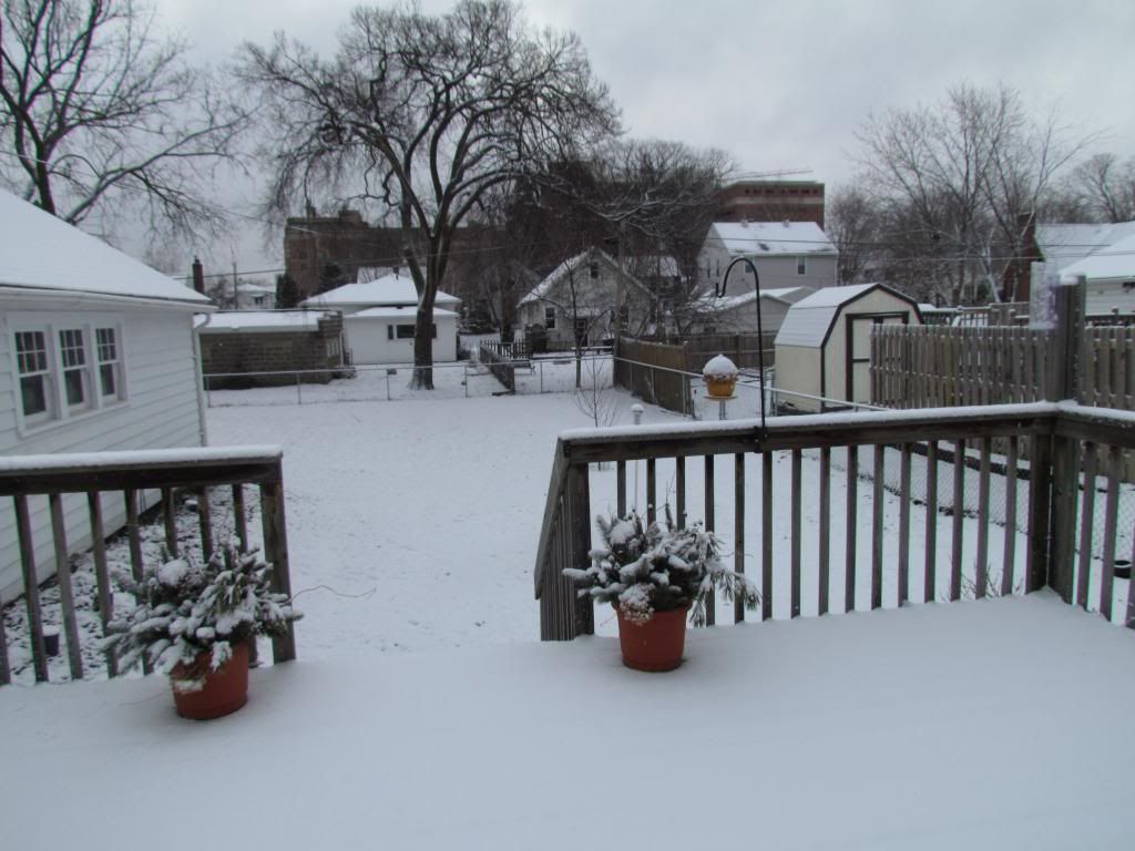
Snowcovered lawns April 11th 2013
The areas was thrown back into a late season batch of Winter Wednesday night into Thursday the rain turned to snow in which some accumulated several times, to various amounts across the area ranging from 3" to 0.50 to 1.0" during the mornings of Thursday, Friday and a 3rd time Saturday. The snow was melted by the end of each of the days it accumulated. Here in Rochester 2.50" of snow accumulated over the past 3 days.


No comments:
Post a Comment