
Iowa Weather Network Warnings Map

Winter Weather Advisory
Thursday, September 11, 2014
September 9th 2014 storm report Sigificant flooding local area & storm chase southern Iowa, northern Missouri
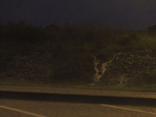
Flooding from heavy rains seen in northern Missouri September 9th 2014
Southern Iowa is still dealing with the effects from flooding from our recent rains September 9th when a frontal boundary caused the storms to develop that dropped 3-5" of rain in some areas, but especially in Madison and Warren counties. Flash flooding was reported in Winterset, Norwalk, Spring Hill and Indainaola areas and included the North river flooding over parts of Highway 28 south of Norwalk. Some of the highiest rainfall reports include 5.75" from Bevington. As of 8:41pm September 11th Highway 48 south of Norwalk remains closed due to flooding, and is expected to re open mid day Friday as the river goes below flood stage. The Des Moines airport got 3.00" of rain which broke a daily record for them. My raingauge had 1.69" of rain in it continuing a very wet streak we started in August. Since August 1st we have received 12.67" of rain. Below is a list of reports and rainfall totals on September 9th.
Norwalk 3-5" deep water on Cherry street. Street barricaded
Norwalk Highway 28 and 23rd closed, covered with water
5 miles N Indainola Summerset road closed due to flooding
4 miles SSW Winterset Pammel pard road closed due to flooding
8 miles SSW Earlham Water rescue at Pitzer Road due to flooding, no injuries
5 miles WSW East Peru 330th street closed due to flooding
6 miles NW Pella 1" Water over Dubuque drive
Bevington 5.75"
Cumming 4.46"
Spring Hill 4.08"
Indianola 2.65"
Hartford 5.41"
Des Moines Airport 3.00"
Des Moines fairmount park ( my station) 1.69"
Clive 2.11"
Knoxville 4.00"
Pella 2.65"
Prairie City 2.86"
Newton 2.78"
Earlham 3.34"
Johnston 2.14"
Southern Iowa/Northern Missouri storm chase.
Video of inflow winds near Grand River, IA
Storm chase for the day started late and me and Alex W. We left Des Moines around 4pm and were heading for storms SW of Des Moines at Creston. We hit heavy rain and storms by the time we reached Winterset and we continued to drive through the storm down 169 then to 34 towards Murray. We took a small road, R15 to Grand River where we finally left the rain, and there was a line of storms to our west. The video above was taken near Grand River as the storm approached. 30MPH inflow winds were measured.
Video of extreme lightning near Decatur City Sept 9th 2014
We continued south, then east towards Highway 2 near Decatur City. Here we experienced extremely close cloud to ground lightning. Several bolts struck and 2 of them I got on tape, like the one above.
Video of strong winds behind a storm near Eagleville, MO Sept 9th 2014
After sitting near Decatur City, IA we decided to go south towards the state line, on the way, we saw a tornado warning pop up for a storm over Eagleville. We crossed into Missouri and saw the back side of the storm at Eagleville and we missed the tornado. Power was going off and on in the town. We did see more dangerous lightning and heavy rain and flash flooding.
Subscribe to:
Post Comments (Atom)


No comments:
Post a Comment