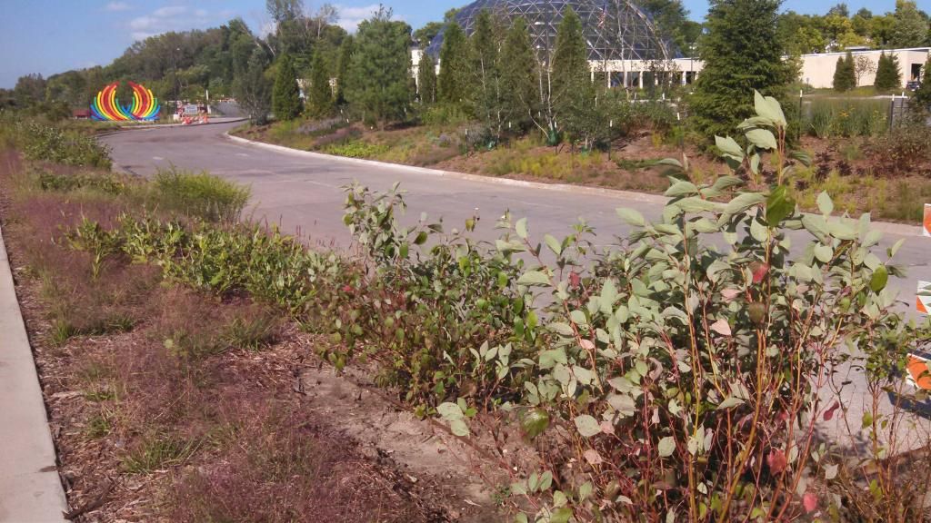
New Des Moines botanical gardens September 4th 2014
Today was a toasty and windy day across Iowa as strong southwesterly winds brought the highs into the lower to middle 90s. Heat index values were over 100.F. The warmth was thanks to a low pressure system to our north causing the warm air to surge in on winds that gusting to 30MPH at times. This warm up was in front of a much cooler airmass that is about to come down. So this could very well be one of our last real warm days of the summer season. Today tied for the warmest day of 2014 at many locations including Des Moines international with a high of 93.F. My station also tied 95.F again.
Highs and wind gusts
Des Moines Fairmount Park neighborhood 95.F
Urbandale 95.F
Des Moines international 93.F 31MPH
Indianola 92.F
Ames 91.F 28MPH
Pella 91.F 24MPH
Knoxville 91.F 30MPH
Ankeny 91.F 30MPH
Windsor Heights 91.F
Marshalltown 90.F 30MPH
Newton 90.F 30MPH
Boone 90.F 26MPH
Perry 90.F 29MPH
Winterset 90.F


No comments:
Post a Comment