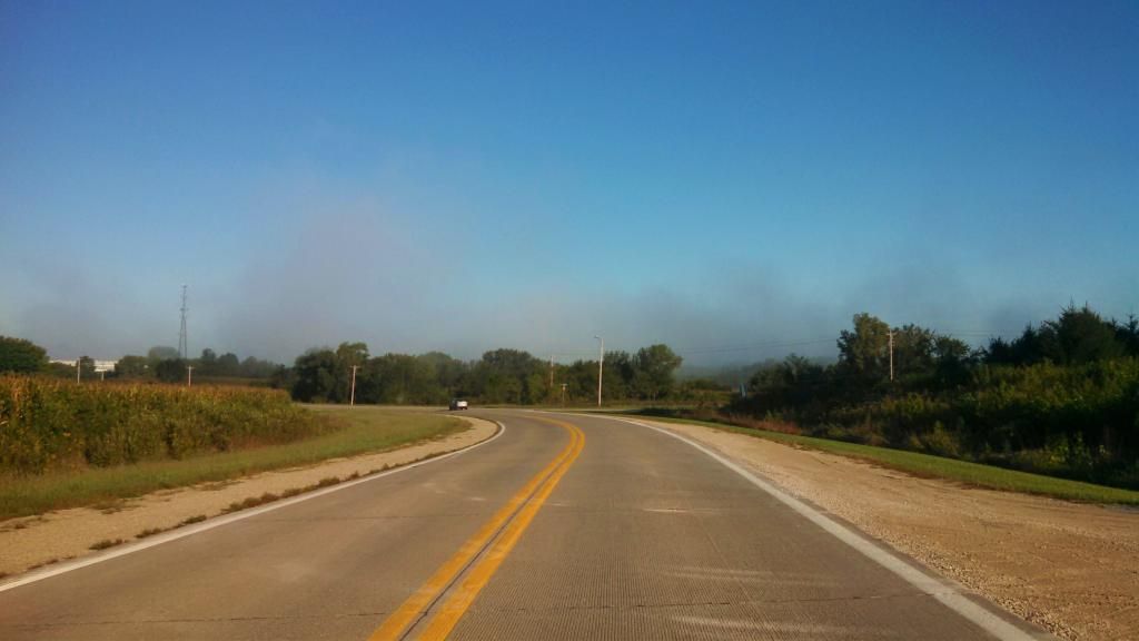
Morning fog September 13th 2014
This morning was a very chilly morning for Iowa and the entire Midwest, thanks to a huge area of high pressure which brought a large chuck of cold air southward across the middle of the country. Lows for the first time this season fell into the middle to upper 30s. Frost was reported in such places as Ames and Cambridge. The frost was light and did not cause any damage. Metro Des Moines did not have frost due to urban heating, but there was reports of some frost on rooftops. This cold snap was very early for Iowa, as 1st frost don't normally occur until into the middle of October. During this cold snap Des Moines only had highs in the middle 50s. Thursday the 11th the high was 54.F which was a new record cold high. Highs of this level are more normal for early to mid November for this area. Other parts of Iowa were colder this morning such as Mason City which had a low of 31.F, a hard frost was reported. The good news is the sun finally came out Saturday unveiling mild day. Temperatures will slowly rise to more normal levels by mid week next week, which will be in the mid 70s. Below is a list of lows reported this morning.
Lows this morning
Ames 34.F
Marshalltown 34.F
Boone 36.F
Newton 36.F
Ankeny 36.F
Knoxville 36.F
Winterset 36.F
Pella 38.F
Indianola 38.F
Des Moines International 39.F
Des Moines-Fairmount Park neighborhood ( My Station ) 39.F
West Des Moines 40.F


No comments:
Post a Comment