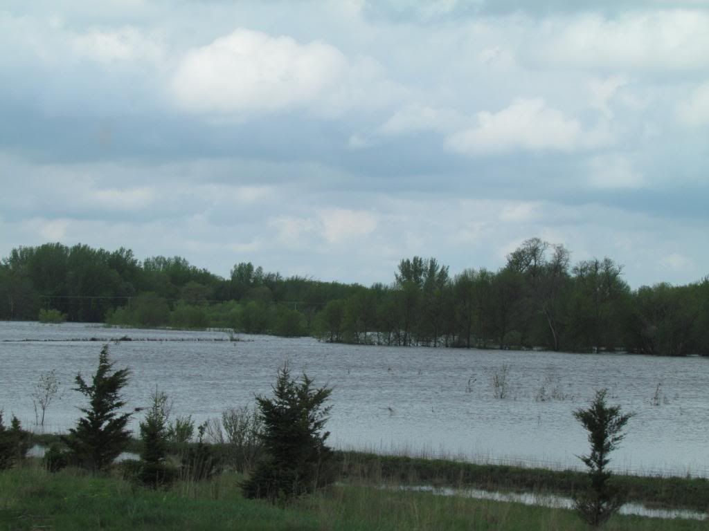
I have moved to Iowa, unfortunately I already have to start reporting weather. While I was offline moving to Iowa severe weather and flooding impacted Southeast Minnesota and Northeast Iowa from a slow moving low pressure system moving across the region. Sunday night severe storms formed near Osage and moved northeast impacting this area with major wind damage near St Ansgar, this cluster of storms pushed northeast through the entire area and produced damage around Austin up through Rochester to the Mississippi River. The storms crossed the river and made it all the way to Northwest Wisconsin including my hometown where I was at the time. Clusters of heavy rain producing thunderstorms continue to form over North Iowa and Southeast Minnesota producing widespread 3-4" of rain across most of the area which caused flooding of several area rivers. Road closures were reported from water over the road or washed out roads, including State road 9 west of Osage.
Reports:
1 mile W Osage quarter sized hail cover the ground
2 miles N Nora Springs Barn blown down, numerous large trees down
2 miles S Stewarville 30 large pine trees blown over
Northwest Rochester, power out debris reported on the road in Elton Hills
Rochester Airport 60MPH wind gust
Lewiston, Wind damage
St Charles Power lines and trees down in the city
2 miles N St Charles, structural damage, pole barns damage as well as corn cribs
Nora Springs numerous roads under water
St Ansgar, widespread flooding of secondary roads across all of Mitchell County
Stacyville 6-7 inches of rain has fallen Little cedar river out of its banks
Osage, Many roads washed out
Rollingstone, wind damage
Winona 62MPH wind gust
Austin, Rose creek a foot over its banks
Adams, roads and bridges under water
New Hampton, numerous trees down, some blocking streets
Calmer Structural damage, parts of siding ripped off and roof damage
Welcome to Iowa
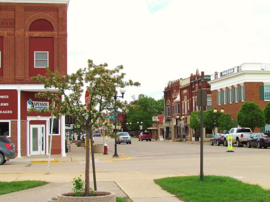
Downtown Cresco,IA May 21st 2013
Now that graduation has passed and I have a degree in horticulture I spent the past several days moving from Rochester,Minnesota to Cresco,Iowa where I was offered a full time year round job growing plants for a major wholsale plant company. I have un packed and begun landscaping my new yard. I've also explored and am starting to get used to the community. Although Cresco is much smaller then the city I just moved from and spent my last 2 years in, it is quite a bit larger then my hometown of Clayton, Wisconsin.
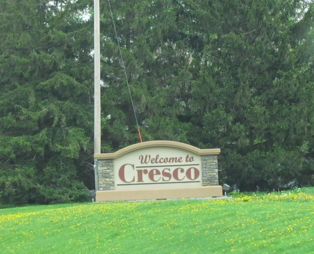
Cresco welcome sign
I am looking foreword to covering North Iowa, now I will give an introduction to Cresco: Cresco is a medium sized independent North Iowa farming community. The population is 4,000 and it is one of the larger communities in the area. Cresco is located about 11 miles south of the Minnesota boarder and it is the county seat of Howard County. It is located in the North Iowa plains it is very flat with vast open fields and wind farms to the west, and more hills and trees to the east. Cresco is located just west of the Driftless area of Southeast Minnesota and Northeast Iowa.
Look for more updates and eventual forecasts to come in the coming days once I've settled in more.


No comments:
Post a Comment