

Iowa Weather Network Warnings Map

Winter Weather Advisory
Thursday, May 2, 2013
Crippling May snowstorm of historic proportion brings widespread major snowfall accumulations bringing the area to a complete standstill. 12-15" of snow produced widespread sigificant tree damage, closed major roads and took power out to thousands. All time May snowfall records shattered- Storm to remember for years to come.
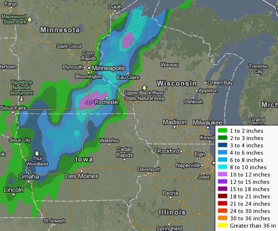
Regional snowfall accumulation map, Image from the NWS in La Crosse
Overview
A snowstorm of historic proportion never before seen in the month of May has left the area crippled under a foot plus of snow that now blankets the area. This storm produced major snowfall accumulations, caused significant tree damage and brought most communties local area to a complete stand still. The set up for this powerful storm was a low pressure system tracking from Northeast Missouri to Southern Wisconsin. What is very usual for this storm besides the fact that it has happened in May is warm temperatures surged ahead of the storm and brought our areas 1st upper 70 degree readings on April 30th just 2 days before it happened! A cold front swept through and bringing us thunderstorms before the front stalled out just our east. As this happened a low pressure system developed in Iowa and sent a huge but very narrow band which first started as rain then it turned over to very heavy snow late into the Wednesday night hours. This band intensified Thursday and at one point 2" per hour snowfall rates were seen across the area, it was intense enough that Thunder snow was observed in Austin. The map above shows in detail just how narrow this snow band was which was only about 50 or so miles wide and had a very sharp cut off. The band was located directly over the central and northwest parts of the area. The southern and eastern parts of the area escaped the worse of this snow. Thursday night into Friday morning another 1-3" of snow fell on top of the region from a new system which fell onto the area which was already crippled by the previous snowstorm.
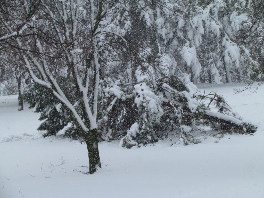
Downed pine trees May 2nd 2013
Widespread major damage and power outages-Area wide overview
This will be one for the record books for a long time! The storm brought a widespread 12-15" of snow and brought the entire Southern and Eastern part of the state to a complete standstill including parts of Northwest Wisconsin and a section of North Iowa. Another 1-3" of snow was reported on top of this the next morning bringing region total 2 day totals to 13-18" The weight of the snow and sheer amounts seen was the root of the major impacts that were seen with this storm. The snow which the NWS named concrete snow was very wet in nature and because temperatures were in the middle 30s during the snow it easily stuck to tree branches which weighed the branches down and caused them to snap falling on homes, cars and powerlines. Falling branches into powerlines took power out to numbers in the Thousands in all parts of the with the highest concentration seen in Red Wing and the Rochester areas. Tree damage was so substantial that power outages continue to occur even several days after the storm. Snowfall amounts were so extreme that Roads were impassible Thursday morning either from the snow or fallen trees. The Minnesota Department of Transportation declared no travel at one point and Highway 52 near Zumbrota closed in both directions due to a crash and at one point traffic was backed up so far the traffic jam went back for 20 miles back down towards Rochester.
Tree damage May 2nd 2013
Rochester Area Overview
I was first aware of the upcoming storm days before it happened but I had generally thought it was over hyped because I thought stuff like this could never happen in May. I was definitely proved way wrong. I shouldn't even need to state to local viewers of how I myself never seen anything like it, I asked many local residents and they have said the same thing "never before in the month of May" I first went to bed Wednesday night and it was raining steady, but the time I woke up Thursday morning it was very heavy snow and it had already accumulated to 6" The storm even brought a the modern progressive city of Rochester to a halt as 13.90" fell officially at the airport while my location received 13.0" of snow during the snowstorm and another 2.50" Friday morning for a 2 day total of 15.50" Many business were schools were closed including Rochester Community and Technical college which is known for rarely ever closing. Significant widespread tree damage was seen, Bus services were hindered or were stopped and snow and fallen tree branches made most roads impassible. At one point 12,000 people with without power in the Rochester area alone from fallen tree limbs into power lines. During my walk through around my area I was surprised to see just how bad some of the tree damage was. The photos included in this post are some of the worse I've seen, but I also entire sections of trees limbs down on homes and many blocking sidewalks. Tree crews were overloaded by the amount of worked that is needed to be done.
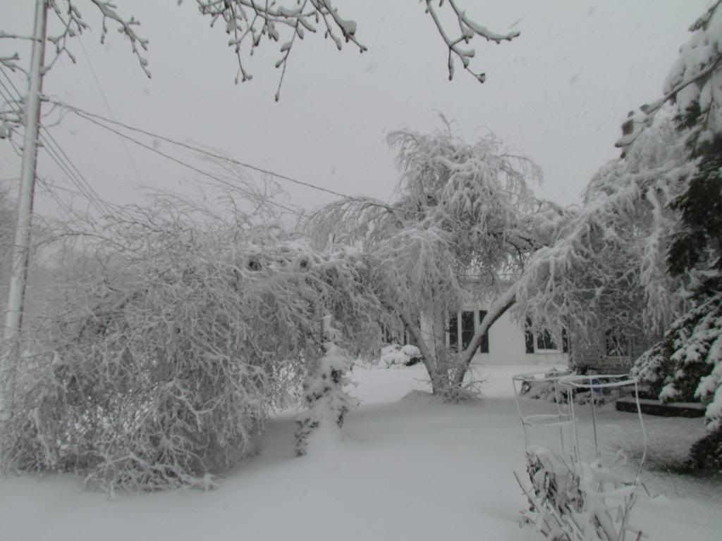
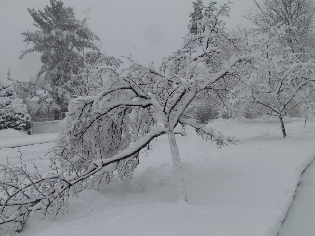
Birch tree bending under the weight of heavy snow May 2nd 2013
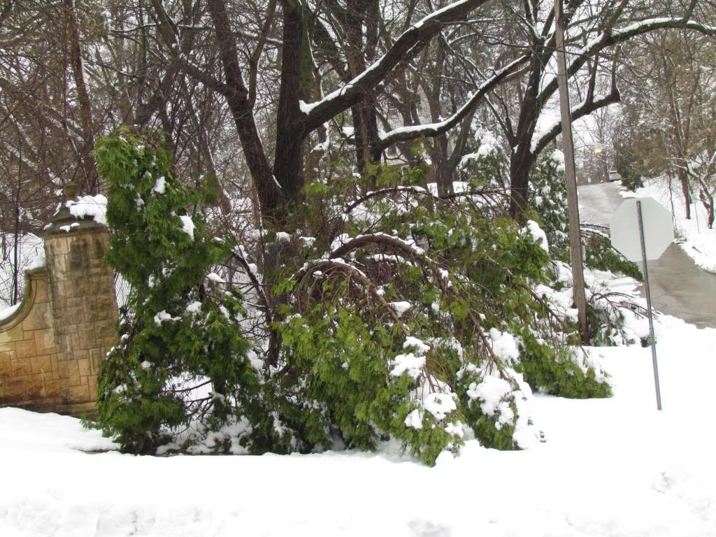
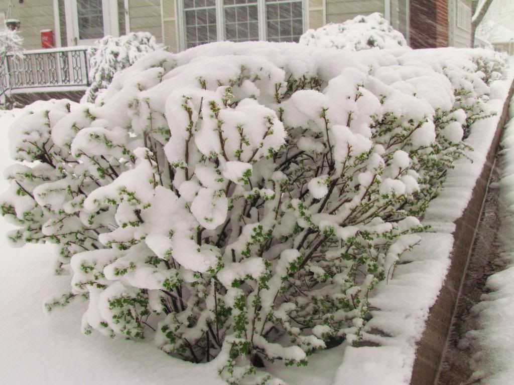
Trees damage across the area is major. City crews in Rochester alone said they will be working for weeks to clean up the damage. All across the area trees really took a hard hit from this snowstorm, and it is not just localized it is widespread over a huge area. The damage was so widespread it was difficult to find yards that didn't have at least some sort tree damage. It wasn't just Pine species that were hit hard but was also deciduous trees because of the wet nature of the snow sticking to the branches. It made things were that some trees had begun flowering or had buds swelling which made them more prone to breaking. Ask and Red Maple trees seemed to to be especially hard hit. The following 3 photos are of various damage I've seen around the city.
Landscape damage to Aborviate the day after the historic May snowstorm May 3rd 2013
Damage to landscapes like these was devastating. Evergreens and especially Arborvitae shrubs are damaged beyond repair many have bent and broken branches that can not be fixed on its own.
Service berry May 2nd 2013
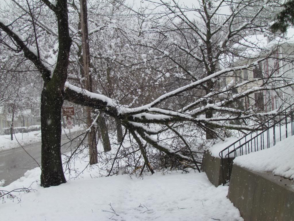
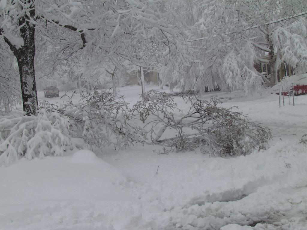
Fallen Branches blocking my street May 2nd 2013
Hyacinth in the Historic May snowstorm May 2nd 2013
All time May snow records smashed
I think this photo of a Hyacinth sets the mood for this storm because we need to be reminded it is May! Snowstorms of this magnitude have NEVER before occurred this late in the season in recorded history in our area, so when people talk about how extreme this is, there is nothing to compare it too! At our areas official climate location at the Rochester Airport we have set the records for the worst snowstorm in May history. Our local NWS office is calling this unprecedented because the airport has received an uncalled for 13.90" of snow shattering all May historic records that date back to the 1800s. our old May record before this was 2.0" The NWS said before this year there have only been 10 times since 1886 that is has snowed in Rochester and they in the past they all totaled under 1" until today.
The NWS has stated that a new all time state of Minnesota record may be set from this storm in Dodge Center where 15" was reported. This could replace the old state record of 6" which used to be in Northern Minnesota
Greening Alpine Current under a foot of snow May 2nd 2013
Snowfall and damage reports
Dodge Center 15.40: ( possible new state record)
Red Wing 13.50" tree damage, widespread power outages
Rochester Airport 14.0"
West Downtown Rochester 13.0" widespread tree damage, power outages, city buses stalled, roads impassible
Kasson 13.50" power outages, trees down
Claremont 13.0"
Austin 10.00" Thundersnow
Zumbrota 8.40" Highway 52 closed
Cannon Falls 8.20"
Spring Valley 8.0"
Kenyon 7.50"
Lake City 6.0"
Preston 6.0"
Wabasha 5.60"
Winona 3.50"
Harmony 2.50"
May 3rd additional accumulations
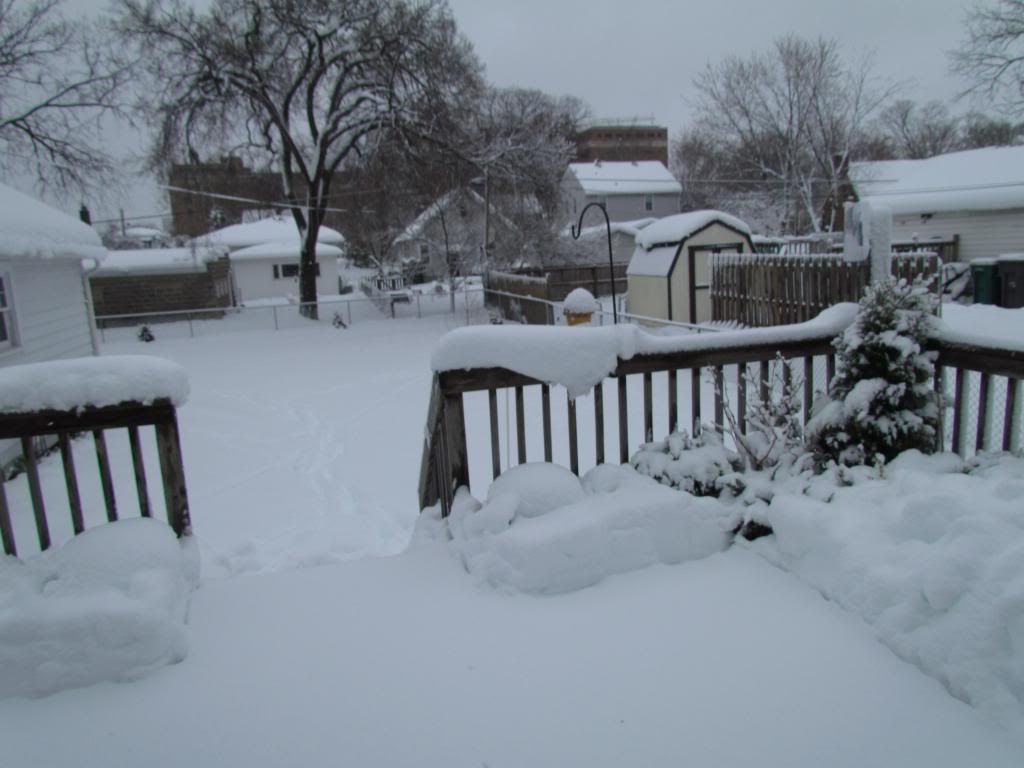
Backyard May 3nd 2013
To add insult to an already record storm another system brought an additional 1-3" of snow to the area Friday Morning before turning to rain as temperatures warmed into the middle 30s. This put 2 day snowfall totals up nearing the 20" mark for several areas. To end off this post on this very historic month for snow I wanted to include the photo of the backyard after the 2nd snowfall. It is hard to believe 2 days ago you could see Daffodils, the lawn had just been mowed and the temperature was in the upper 70s! A significant warm up back into the 70s is expected by next week which should set us up for an very fast snowmelt, we will have to see how many days it takes to melt the snow.
Subscribe to:
Post Comments (Atom)


1 comment:
Crazy awesome stuff, D.
Here is the radar loop.
http://tiny.cc/ur20130430503
Post a Comment