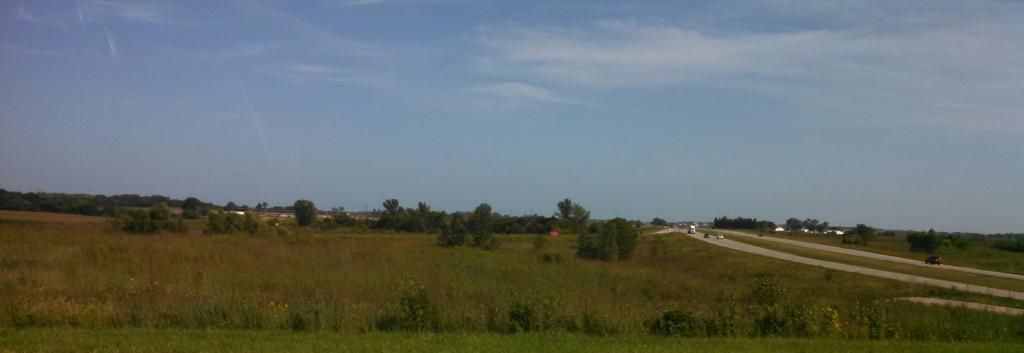
Clear skies in a hot day, August 25th 2014
Yesterday and today brought very hot weather and high humidity to southern Iowa as a warm front lingered and eventually passed north of our area drawing in the heat. Highs were in the lower to middle 90s for about 4-5 days and dewpoints were in the middle to upper 70s each day producing heat index values over 100. The highest dewpoint for Des Moines was 79.F, which is normal for Florida. The highest temperatures were found in the Des Moines metro area where urban heat island brought the temperature up. These type of warm ups are not anything new to our area, in fact it is normal for this region and actually we have seen a below average number of these days. Des Moines averages one 100.F a year which we have not yet seen. Our heat wave was a part of a much larger heat wave that brought upper 90s and 100s to places like Nebraska and Kansas. Nearby Kansas City hit 99.F during this heat wave.
Highs Sunday
Fairmount Park neighborhood ( My Station) 95.F
Urbandale 95.F
Des Moines international 93.F
Pella 93.F
Indianola 93.F
Ankeny 91.F
Ames 91.F
Marshalltown 90.F
Newton 90.F
Knoxville 90.F
Boone 90.F
Perry 89.F


No comments:
Post a Comment