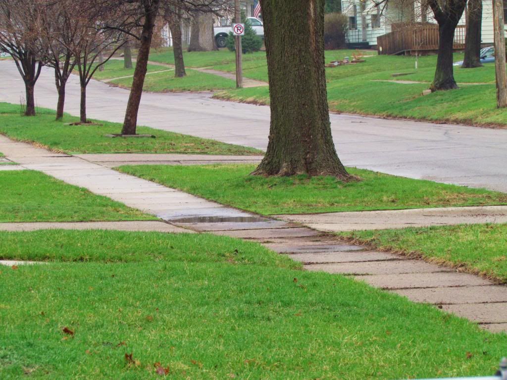
Green up after morning Thunderstorms April 13th
Yesterday was a summer-like day with high temperatures that got much warmer then they were forecasted to reach. This was followed by a severe weather outbreak along the cold front that started late in the afternoon as several storms broke out and produced lots of hail damage. The two main areas of severe weather were in the Story City area in our local area, however most areas got hit with strong storms as the front went through. A potent weather system pull warm air from the south which pulled in very warm moist air and pushed temperatures in the lower to middle 80s. Dewpoints for the 1st time this season were in the mid to upper 50s which brought a touch of humidity to the air. The high at Des Moines International was 86.F which was 1 degree shy of tying the record high. Below are yesterdays highs
HighsApril 12th
Fairmount Park ( My station) 87.F
Des Moines International 86.F ( 1 degree from tying record)
Pella 86.F
Urbandale 86.F
Perry 86.F
Ames 85.F
Norwalk 85.F
Madrid 85.F
Marshalltown 84.F
Newton 84.F
Knoxville 84.F
Ankeny 84.F
Boone 84.F
Indianola 84.F
In the afternoon with a boundary that was set up near Highway 30 and later on a cold front, storms developed and quickly starting producing severe hail. Golf ball to tennis ball sized hail was reported in several areas of Northern Boone and Story counties with several different storms that formed, with tennis ball sized hail reported in Story City. Storms continued to re developed and trained along the boundary over that same area for several hours many of which produced their own areas of large hail. Torrential rain was also reported with estimated of 3- 5+ inches of rain around Story City, Marshalltown and Albion. Later in the evening a cold front pushing in from the west caused storms to erupted in Western Iowa and pushed east through the evening. These storms mainly produced strong winds, with the worst of the severe weather in this cluster to the south, but did effect the Knoxville area with 60MPH winds. Around 10pm one of these strong storms passed through the Des Moines area producing 50+ MPH winds from its gust front. This was likely felt across much of Polk and Warren counties. I witnessed this from my house around 10:30pm last night, there were very strong gusts that lasted for about 10 minutes. There was no severe reports from these around Des Moines, however I did see an uprooted tree in West Des Moines. Isolated storms developed all through the night and then Sunday a large area of rain blossomed over much of Iowa delivering a widespread 1-2" of much needed rain. This will help aid in the drought conditions we have been under. Below is a list of reports and rainfall amounts
April 13th Severe Weather Reports
Story City Tennis Ball 2.50" sized hail
Gilbert Golf ball 1.75" sized hail
Roland 1.50" sized hail
9 miles NE Boone Golf ball 1.75" sized hail
Ogden Gold ball 1.75" sized hail
State Center Quarter 1.00" sized hail
Knoxville 61MPH wind gust
Non-severe reports
Des Moines international airport 50MPH gust
Ankeny 44MPH gust
Grimes 51MPH gust
West Des Moines, Small tree down along 63rd Ave
Rainfall Reports
Marshalltown 3.89"
Knoxville 3.30"
Ames 2.25"
Perry 2.06"
Newton 1.83"
Des Moines international 1.73"
Fairmount Park ( My Station ) 1.71"
Ankeny 1.31"


No comments:
Post a Comment