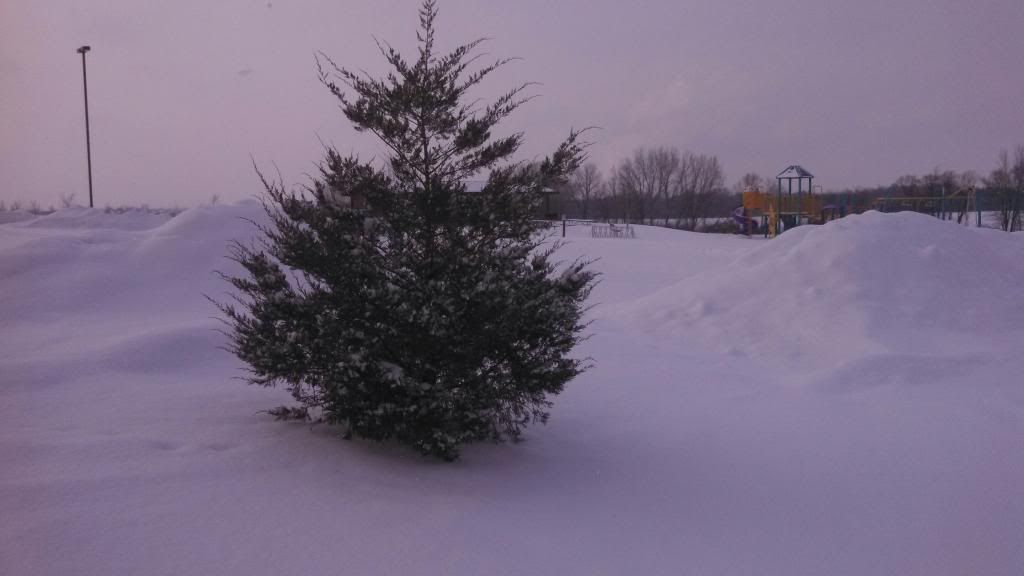
Snowy Juniper during clipper system February 8th 2014
This Saturday brought another clipper system to Eastern Iowa, which in turn brought another wave of Snow, some of which came down very heavy at times, especially in the morning hours. During the afternoon the snow tapered but lasted though the rest of the day. The cause of Saturdays snow was all to a strong little system moving across the state. A strong snow band developed as it moved cross Central and Eastern Iowa during the early morning to mid afternoon hours producing 1-2" per hour amounts as it quickly moved across Iowa. Most of the accumulation in the reports below occurred in only an hours time. Here in Hiawatha I recorded 2.50" with 0.09" of water content, which is a dry snow. The snow was very light and fluffy and so fluffy I seen people using brooms to clear the snow off their cars. It also made for a beautiful Morning on Sunday when the large flakes glistened against the sun. The snow for the most part did not cause much in the way of issues accept for travel on Interstate 80 where an accident caused a 3 hour closer of the interstate near Iowa City.
So where are we in terms of snowfall/snowcover and such?
Adding the numbers: Hiawatha,Iowa
Seasons Total Snowfall 27.70" ( -2.30" from seasonal norm )
Snow this month 7.75" ( +1.25" and month just started )
Snow Depth 6.50" ( 0.98" water content ) Highest snow depth of the season so far
February 9th Snowfall Reports
Atkins 3.20"
Cedar Rapids 3.00"
Independence 3.0"
Marion 3.00"
Northwest Cedar Rapids 2.70"
Iowa City 2.60"
Waterloo 2.50"
Hiawatha 2.50"
Mt Vernon 2.50"
Monticello 2.40"
Springville 2.10"
Washington 1.0"


No comments:
Post a Comment