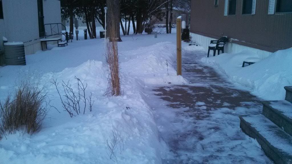
Increasing snow piles February 5th 2014
A snowstorm just got done hitting our area and it was a long lasting one by far. The snow started around noon Tuesday and continues through Wednesday. Heaviest snow occurred Wednesday morning. The fine texture to the snow made the roads extra dangerous and numerous accidents were reported throughout the area, Especially on 380 and interstate 80 the south side of Cedar Rapids, where I happened to be trying to get to Des Moines but had to turn around due to very dangerous conditions on interstate 80. Our snow here in Eastern Iowa was a part of a much larger storm system that effected 2 3rds of Iowa as well as a much larger part of the region that spread snow and ice across a huge part of the country from Kansas City southward to areas as far south as Northern Arkansas and Oklahoma. Amounts ranged from 1-2" in the highway 20 corridor to 5-6" in the south around Iowa City southward. Taking measurements was very difficult due to the fine textures nature of the snow and wind. Listed below is the reports for the area.
Snowfall reports
Wellman 5.0"
Victor 4.0"
Marion 4.0"
Olin 3.80"
Hiawatha 3.75"
Cedar Rapids 3.50"
Coralville 3.50"
Bertram 3.50"
Anamosa 3.20"
North English 3.00"
Solon 3.0"
Jesup 1.50"
Independence 1.50"
Waterloo 1.50"


No comments:
Post a Comment