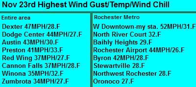
Changing temperatures seem to be common here lately with this latest one being cause by a powerful cold front that pushed through the region late Thanksgiving Evening bringing strong wind gusts, wind driven flurries and a significant temperature drop. Highs early Thanksgiving Day ranged from the middle to upper 60s across the area, At my station the high was 67.F. Wednesday was even warmer highs warmed to record levels the lower to middle 70s. A Record high of 70.F was seen at Rochester. The old record of 69.F was broken and November 21st became the new latest 70.F degree reading. At my station had a high of 71.F this same day. This beautiful weather became a thing of the past when the cold front that was anticipated for days blew through the region. Temperatures at my station on Thursday dropped from 67.F around 12pm to 31.F by midnight, and by morning it had fallen to 19 dropping a full 48 degrees. Powerful wind gusts well over 40MPH in many areas were seen as cold air blew in. Some of the more impressive wind gusts were 47MPH wind gust was reported on the upland flatland in Dexter, and on the Mayo Helipad in West Downtown Rochester a wind gust of 52MPH was recorded.

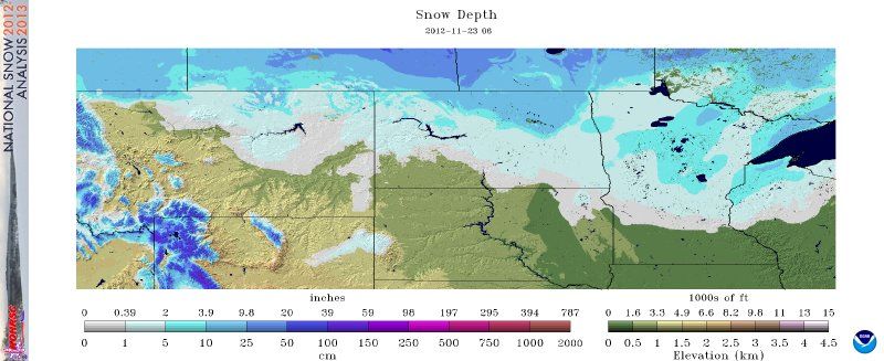
Image from the National Weather Service-National Snow Analysis
The front came through with very little precipitation in our area with only a few flurries being seen with only very light dusting snow seen. It was a completely different story and now looks like another world to our north though. Looking at the map above snow covers the ground just north of Red Wing. Most of the precipitation missed Southern Minnesota which is why a well defied line can be seen. Brief moderate to even heavy snows effected the the Twin Cities metro area northward. 1-3" of snowfall accumulated here and east over my hometown area Northwest Wisconsin. Conditions deteriorated the further north you went, In Northern Wisconsin, the snow belt on south shore of Lake Superior was blanketed under 6-12" of lake enhanced snow. For information concerning the snowstorm in the Northeastern Part of our state. Please check out my neighboring blogger Tim of Tims Weather Blog-Duluth,MN
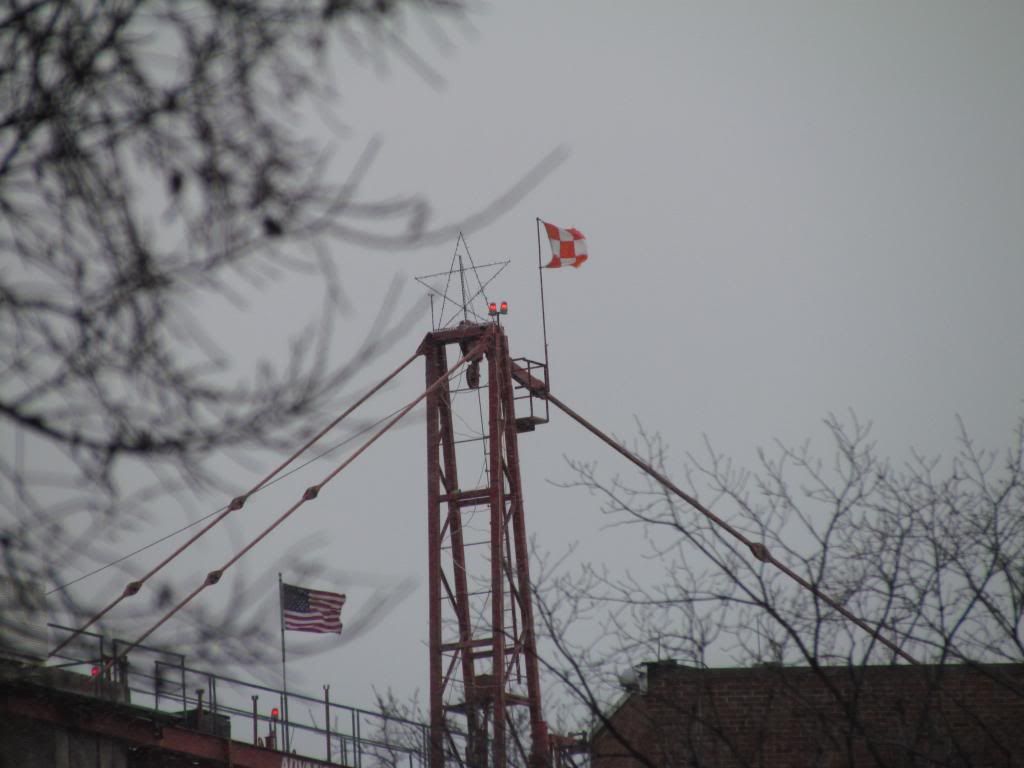
Wind gusts from 52MPH at the Mayo Helipad in Downtown Rochester to 34MPH in more protected valleys closer to rivers.


No comments:
Post a Comment