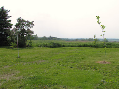
 Western part of the yard on an oppressively hot humid afternoon June 3rd
A very warm and muggy day was felt across the entire area ahead of a warm front. The skies were cloudy with spotty showers and on and off sun much of the afternoon, but around 3pm a large hole opened up in the clouds where it became clear across much of the area for about 45 minutes and that sent temps from the 70s, rising to the middle to upper 80s in a short time, Making way for a muggy very warm evening. My location has its first "very warm" day of season rising to a high of 87.F, which is the warmest reading so far this year, this with a very high dewpoing in the low to mid 70s that put the highest heat index value to 94.F on my station today. One thing many noticed about this warm up is it lasted longer then our last last week, Where as the last only seemed to last one evening. Todays heat lasted with us all day long, Even as 11pm passed the temp was still 77.F at my location with a heat index of 79.F, Today was a day that felt like mid Summer for sure!
 Temperature reports.
There was one lone 90.F temperature on an NWS un official station which was in River Falls, this was the areas warmest reading. The rest of the area was in the mid to upper 80s, the Coolest readings were quite a few stations in Burnett/Washburn counties which were held under more cloud cover. Highs there were 83.F


No comments:
Post a Comment