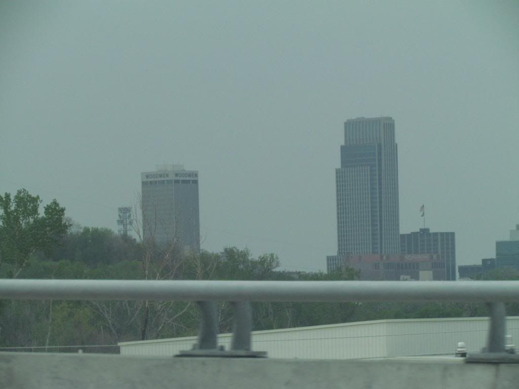
Downtown Omaha, Nebraska May 11th 2014
Sunday May 11th storm chase- I did go on my first significant storm chase of the season and ended up well into Nebraska, which was also the 1st time I've been to that state. The risk was moderate which included much of Nebraska and Iowa. This storm was responsible for bring a stretch of 80s to an end and bringing out our current highs in the lower 50s. The storms were expected to break out in Eastern Nebraska in the afternoon hours. I spent the 1st part of the day at work, then I met up with chasing friends and left Des Moines around 2:30pm towards storms that were already ongoing in central Nebraska, which was producing major tornadoes near small towns west of Lincoln.
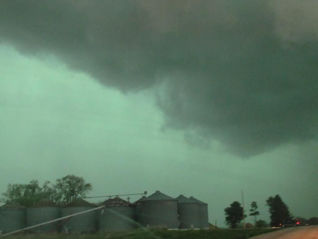
Storm front near Lincoln, Nebraska
We caught up with this storm just west of the Lincoln area and by the time we had reached it the tornado had already become rain wrapped. We chased the tornado and ended up on several small country dirt roads north of Lincoln, but I as the navigator managed to get us through.
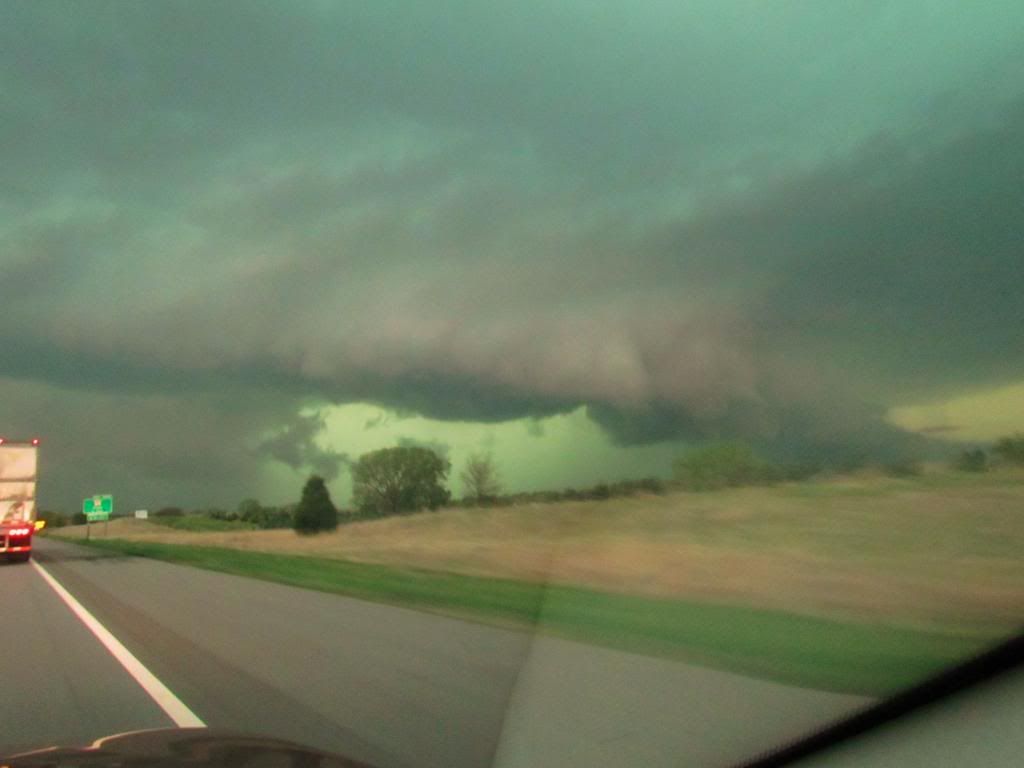
Wall cloud May 11th 2014
This was some of the best cloud features we as a group seen during the daylight hours. The tornado was not visible to us if there was one because of heavy rain.
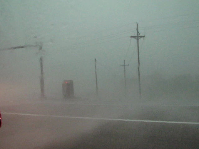
High wind/rain West Omaha suburbs My 11th
This was the point in which we were closest to the circulation. We caught up with it just on the West outskirts of Omaha just as the storm merged into a huge line and headed for Iowa. We ran into power outages and it was later reported there was a tornado towards Elkhorn.
Area damage reported
The above storms in Nebraska eventually turned into a huge line which went along and North of a line of I-80. We were able to punch back through from the back side of the line, through hail and high winds to the front and I was in Des Moines even before the storms moved in. So I saw the same line of storms twice. As these storms moved into our local area as a bowing line with several circulations that developed. Several tornadoes were produced after dark towards the Panora/Lake Panorama area, just west of our area. Here a significant tornado was produced which did significant damage. See NWS or news outlets for information on this event. When the storm was at this point we had just made it back through to the front side and we were able to see impressive wall clouds north of I-80, which was actually the most impressive wall could of the day. The line of storms storms entered the local area at Dallas county where a tornado was reported just northwest of the Des Moines metro only 4 miles NW of the Granger area. The tornado was rated Ef0. There was also high wind damage south of the tornado's path. Damage was reported from Northwest sections of the Des Moines Metro north/east starting near Dallas Center where several outbuildings were damaged and ending at Prairie City where it was mostly just minor tree damage and or wind reports.
Here in Fairmount Park, I only had some gust winds up to 40MPH and heavy rain with the 1st round of thunderstorms. Overnight we had several more rounds of storms hit and 1.95" of rain fell at my location.
2 miles SSE Minburn Tornado rated EF0
4 miles NW Granger, Tornado rated EF0
Urbandale 1.00" hail
1 mile ENE Dallas Center 60MPH winds and damage reported.
Elkhart 60MPH winds
Windsor Heights 55MPH gusting to 70MPH
New Virgina Power lines down, Shingles removed from new roof.


No comments:
Post a Comment