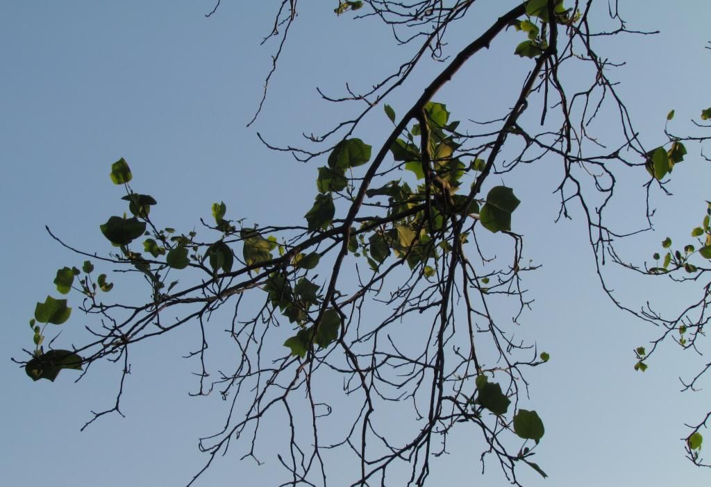
Established Tulip Tree with significant winter-kill from the 2014 Winter
left over signs of the extreamlly harsh winter we just endured are still be see throughout central Iowa as many have noticed some trees, shrubs and perennials did not make it through the winter, this is especially true for roses and evergreens, even though the same plants have made it through all of the past previous winters included some trees that have been in place for 30 years or more. I did a little research to find out what was really the reason why there was such a significant loss, up to 25% of newly exotic to Iowa plant material has been lost has very slow growth this spring.
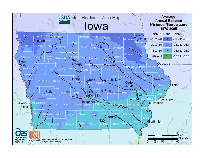
Image from Department of Agriculture
According to the United States Department of Agriculture All of Iowa is either zone 4 ( far north ) 5, or even 6 (far southeast ) These zones are further divided into sub zones. In central Iowa you are either listed in 5a which includes Boone, Ames, Marshalltown and Winterset, or zone 5b which encircles and includes the entire Des Moines metro. To be in zone 5b criteria temperatures cannot fall below -20.F, 5a -25.F. Last winter was the coldest in quite some time for Des Moines, but with research the lowest temperature reported at Des Moines International last winter was -14.F so that should not have been the reason why there was significant loss.
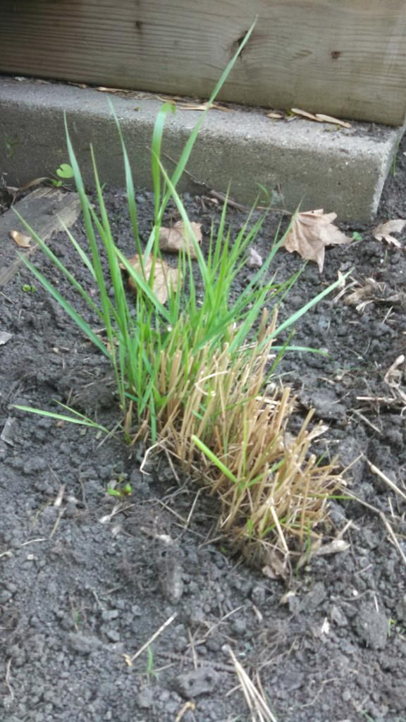
Partially damaged switched grass May 30th 2014
Upon future research I found the reason for the loss was the extent of the cold weather and the record frost depths levels that were reached as a result of the long lasting cold and low snowcover. It was made even worse by the fact that last fall was dry which took a toll on evergreens. At the garden center I work at I have heard of alot of death in evergreen shrubs and roses, especially knock out variety. I also have heard from some that some plants are still slow to grow which I can also vouch for, my switch grass is still barely coming up at this time.
So what are some things that can be done now that the damage has been done? Trees shrubs or perennials that have not come up by this time are likely not going to come up and should be removed and replaced. damaged trees and shrubs that had significant die back can have the branches pruned back to the point of growth, but be aware the structure of the tree or shrub could be damaged beyond repair and also keep in mind trees or shrubs that have been grafted may have died back below the graft union and could be totally different in color of leaves and blooms and different fruit on fruiting trees. When purchasing new shrubs be sure to pick them up from a local garden center as the nursery items sold here have the highest chances to be grown from northern stock which insures survival should this happen again.
Below is a list of plant material I've seen dead or damaged or has been reported dead or damaged.
Tulip Tree
Japanese Maple
Crab Apples
2013 planted trees
Knock out roses
Exotic Magnolias
Redbuds
Juniper
Rose of Sharron
White Pine
Red Pine
Yew
Spirea
Endless Summer Hydrangea
Iowa Weather Network Warnings Map
Winter Weather Advisory
Friday, May 30, 2014
Thursday, May 22, 2014
Horticulture is amazing! Visit to Rochester, MN, shows 3 weeks difference in the growing season
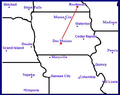
Map showing distance from Des Moines, IA to Rochester, MN
This week ( yesterday and today ) I took a trip to visit family in Rochester, MN which is also the city I obtained my horticulture degree. While visiting there I took note of the growing season and I noticed a huge difference there was when comparing the stage of the growing season there. Rochester is exactly 210 miles northeast of Des Moines, with distance being the only thing that is in between, there are no natural barriers such as mountains or lakes. In my travels I took note of certain species that had already bloomed and faded at my house in Des Moines. This method of observation also has a name in horticulture and thats phenology which is the study of the growing season. Going north on Interstate 35 I noticed lilacs and Crab apples re appearing again north of Highway 20 between Ames and Mason City. Then entering Minnesota Lilacs were even farther behind and had just started blooming there. Below is photos showing the difference
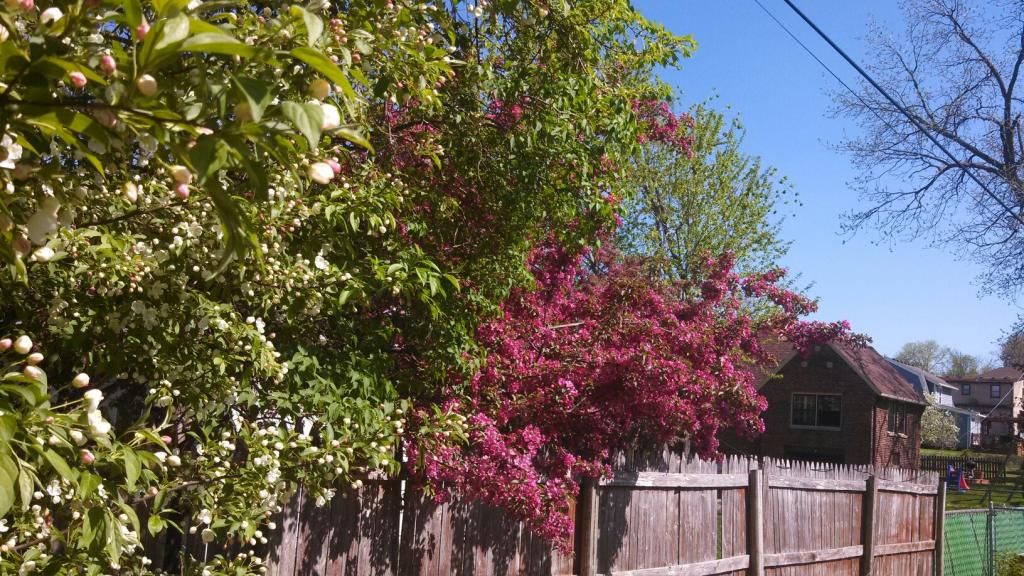
Crab apples in full bloom Rochester, MN May 22nd
I have heard a saying that for every 100 miles is going back 1 week in the growing season, In southern Minnesota in the photo above are how crab apples looked in Rochester earlier today, These bloomed and long faded here Des Moines. Being in Rochester was like rewinding our growing season clock back to the 1st few days of May, 3 weeks ago. So why is there such a big difference between Des Moines and Rochester even with nothing separating them besides just 210 miles of land. To explain there are a couple of reason why there is a difference. Rochester had snowcover later into spring then Des Moines, so they already had a later start to the season. It has also been much cooler there, they have not seen an 80.F temperature yet and Des Moines has seen 5 including 1 90.F. These reasons are why there is a season variance between the two this year and in most to all years.
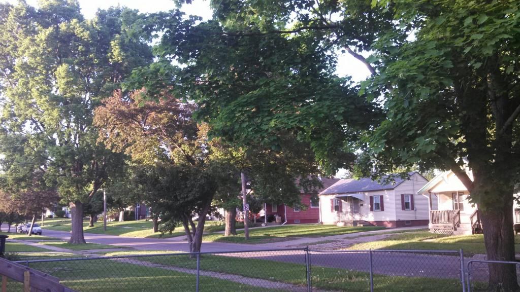
How crab apples look in Des Moines May 22nd
Above is a photo showing how Crab Apples here in south Iowa are long faded.
Lilacs May 22nd 2014 Rochester, MN
Above is how Lilacs looked in Rochester yesterday evening. The lilacs in Des Moines were at this stage at the end of April.
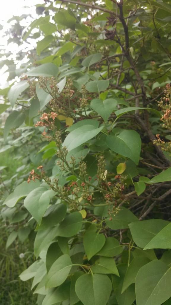
Dead lilac blooms May 22nd Des Moines, IA
This is how the same species of lilacs looked in Des Moines this evening. I actually got to see Lilacs twice in a year now because of going north back into the area where they are blooming. While talking to family from my hometown area of Clayton,WI 120 miles farther then Rochester, they had said Rochester was much farther along they that area was, crab apples and lilacs were not even yet close to blooming in my hometown yet, which means they are at least 4 weeks, one month behind Des Moines growing season.
Thursday, May 15, 2014
May 11th Nebraska storm chase- Area severe weather reports. Tornado reported near Granger
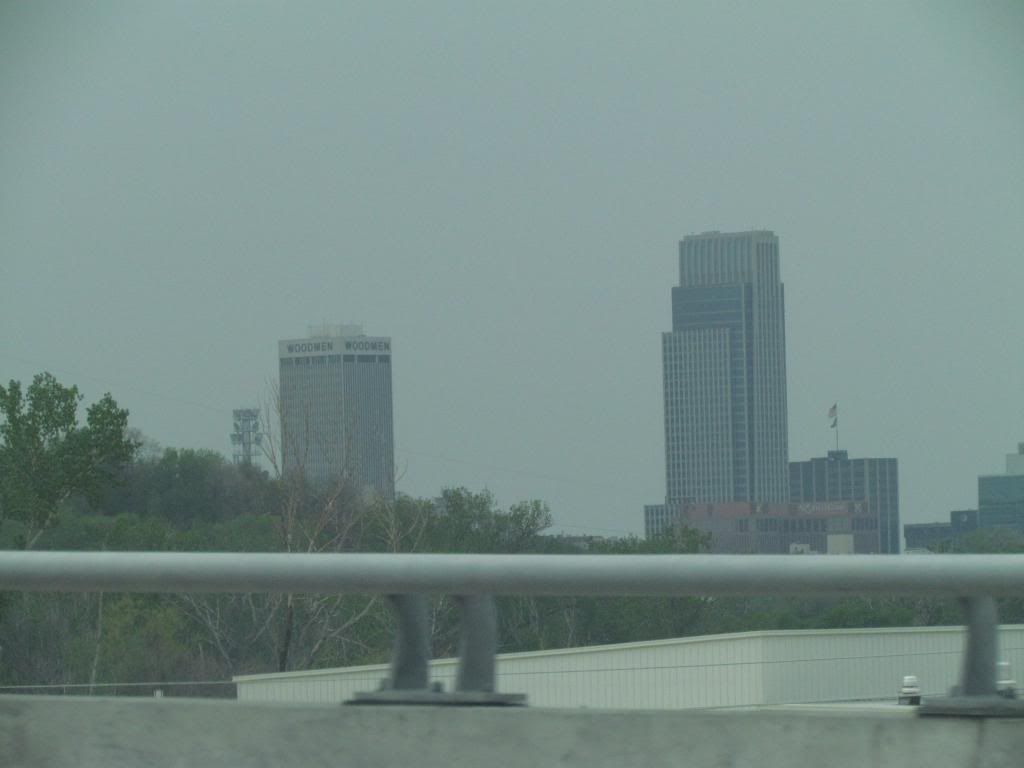
Downtown Omaha, Nebraska May 11th 2014
Sunday May 11th storm chase- I did go on my first significant storm chase of the season and ended up well into Nebraska, which was also the 1st time I've been to that state. The risk was moderate which included much of Nebraska and Iowa. This storm was responsible for bring a stretch of 80s to an end and bringing out our current highs in the lower 50s. The storms were expected to break out in Eastern Nebraska in the afternoon hours. I spent the 1st part of the day at work, then I met up with chasing friends and left Des Moines around 2:30pm towards storms that were already ongoing in central Nebraska, which was producing major tornadoes near small towns west of Lincoln.
Storm front near Lincoln, Nebraska
We caught up with this storm just west of the Lincoln area and by the time we had reached it the tornado had already become rain wrapped. We chased the tornado and ended up on several small country dirt roads north of Lincoln, but I as the navigator managed to get us through.
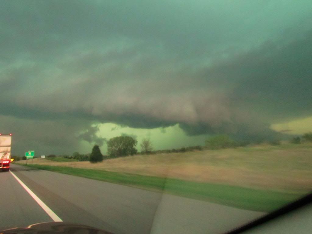
Wall cloud May 11th 2014
This was some of the best cloud features we as a group seen during the daylight hours. The tornado was not visible to us if there was one because of heavy rain.
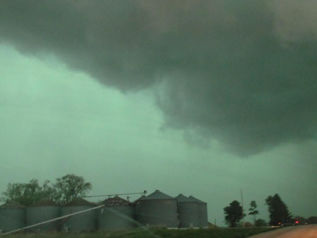
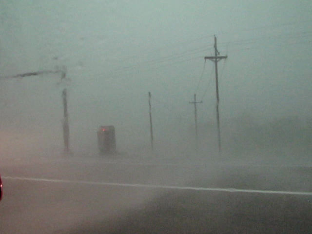
High wind/rain West Omaha suburbs My 11th
This was the point in which we were closest to the circulation. We caught up with it just on the West outskirts of Omaha just as the storm merged into a huge line and headed for Iowa. We ran into power outages and it was later reported there was a tornado towards Elkhorn.
Area damage reported
The above storms in Nebraska eventually turned into a huge line which went along and North of a line of I-80. We were able to punch back through from the back side of the line, through hail and high winds to the front and I was in Des Moines even before the storms moved in. So I saw the same line of storms twice. As these storms moved into our local area as a bowing line with several circulations that developed. Several tornadoes were produced after dark towards the Panora/Lake Panorama area, just west of our area. Here a significant tornado was produced which did significant damage. See NWS or news outlets for information on this event. When the storm was at this point we had just made it back through to the front side and we were able to see impressive wall clouds north of I-80, which was actually the most impressive wall could of the day. The line of storms storms entered the local area at Dallas county where a tornado was reported just northwest of the Des Moines metro only 4 miles NW of the Granger area. The tornado was rated Ef0. There was also high wind damage south of the tornado's path. Damage was reported from Northwest sections of the Des Moines Metro north/east starting near Dallas Center where several outbuildings were damaged and ending at Prairie City where it was mostly just minor tree damage and or wind reports.
Here in Fairmount Park, I only had some gust winds up to 40MPH and heavy rain with the 1st round of thunderstorms. Overnight we had several more rounds of storms hit and 1.95" of rain fell at my location.
2 miles SSE Minburn Tornado rated EF0
4 miles NW Granger, Tornado rated EF0
Urbandale 1.00" hail
1 mile ENE Dallas Center 60MPH winds and damage reported.
Elkhart 60MPH winds
Windsor Heights 55MPH gusting to 70MPH
New Virgina Power lines down, Shingles removed from new roof.
Wednesday, May 14, 2014
Spring Growth Update #8 Azaleas, Late spring flowers, Leaves of summer arrival.
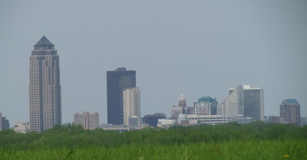
Downtown Des Moines with Green urban canopy May 14th 2014
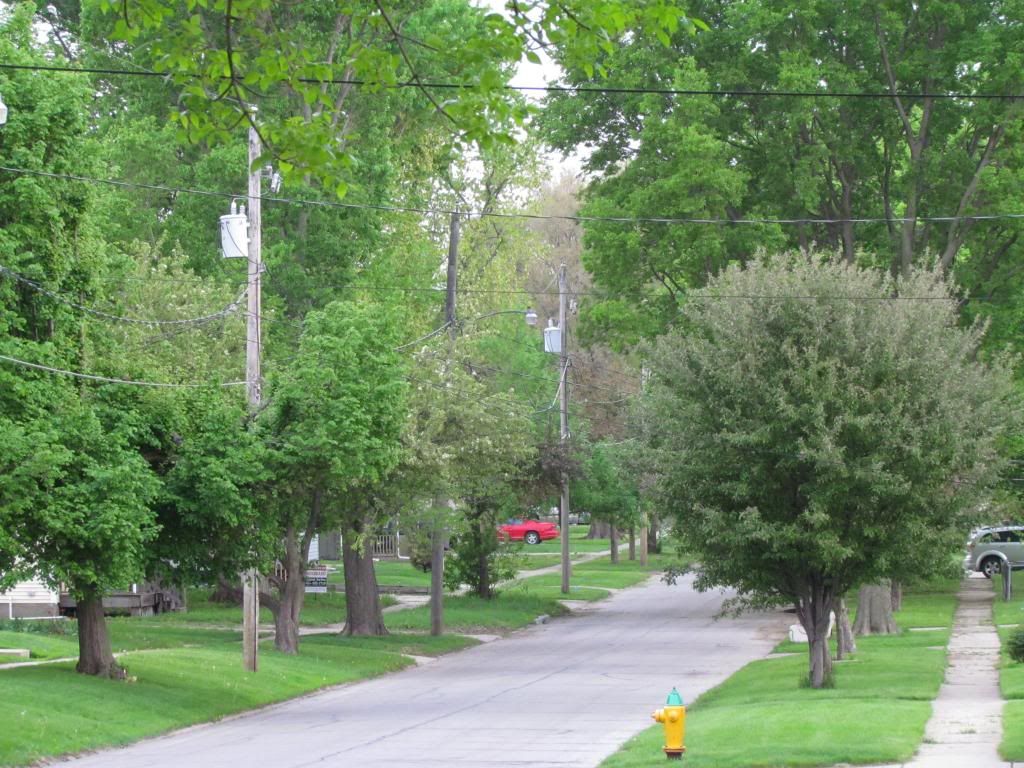
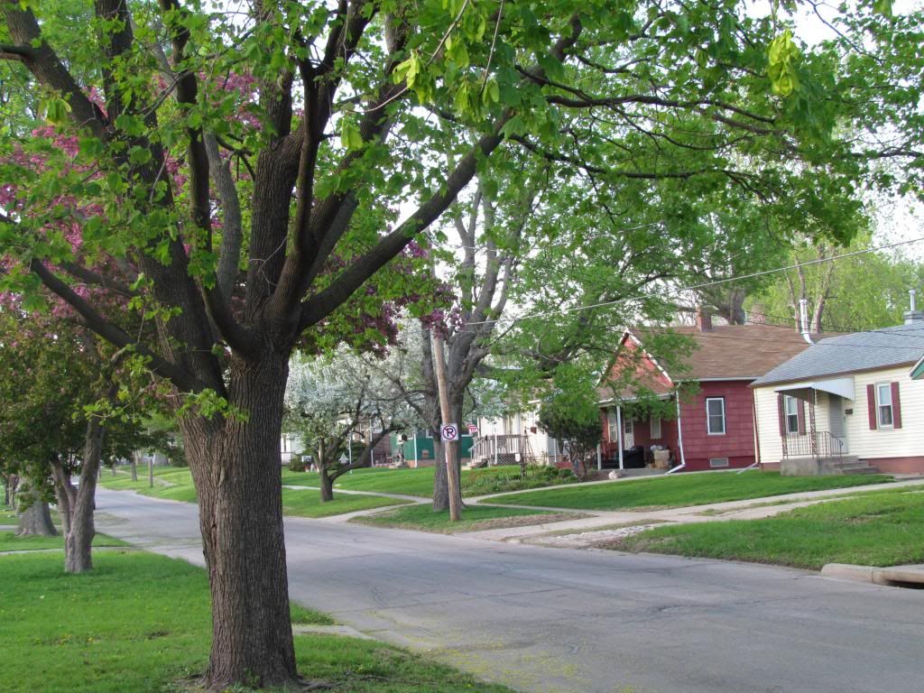
This week we continued to make progress in our annual spring green up. This weeks in terms of weather was very wet, humid and warm with nearly 2" of rainfall from thunderstorms early in the week. Temperatures were general in 70s and 80s and recently, 60s. After the 90 degree weather last week many of the spring blooms such as crab apples, tulips and lilacs are spent. We have moved onto late spring flowers. Trees of all kinds and types are now in full leaf out. Neighborhoods are now shaded under the leaves we will have all summer. Looking across the urban tree canopy shows it lush and 100% green in all areas. This week in the garden an in my containers I planted all of my annuals, tropicals and frost tender vegetables in preparation for summer color. Summer is well on its way!
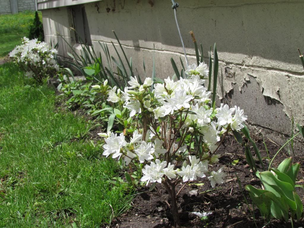
Azaleas May 13th 2014
This week my Azaleas bloomed, and I noticed that are in full bloom other other parts of the city as well. I've seen some beautiful bright pink Azaleas in Downtown Des Moines along grand avenue. These shrubs are only hardy to southern Iowa and are not hardy any farther north of this point in the state. They may also be damaged in country areas. Instead get Northern Lights varieties.
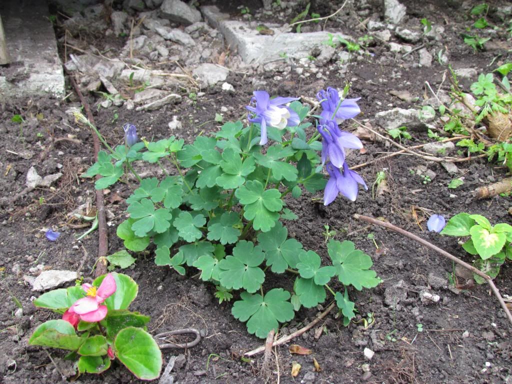
Blue Columbine May 14th 2014
Columbine blooming always reminded me of the soon to be arrival of warm humid weather and thunderstorms in the area where I grew up. These like spring sun and summer shade. They bloom in late spring.
Fairmount Park urban tree canopy.
Here is one last look of our total leaf out we are now experiencing. Weather does call for upper 30s and lower 40s for the next couple nights at this point any way, I am not concerned about damage to plants.
This will be the last spring growth update of the season since we are now moving towards early Summer and the abundance of blooming plants will continue to go down. However I will have continued horticultural related posts and photos all summer/fall long!
Friday, May 9, 2014
May 8th severe storms-Sigificant hail impacted parts of the Des Moines metro. May 7th highs 1st 90s of the season
May 8th storms
Thursday May 8th severe storms impacted parts the local area particularity across Warren and Polk Counties where significant hail over golf ball sized and high winds were reported. Which is the main storm of focus because it was the only one that produced severe weather locally. The cause of the storms was a strong cold front slicing into a warm, humid summer-like airmass in which produce widespread 90s yesterday. The storm in question started in far Southern Iowa near Lamoni and became strong as it entered Madison county from the south. The storm developed an small but intense hail core as it moved through Madison County between St Charles and Winterset. Quarter sized hail and 57MPH winds were reported near East Peru and Patterson. As it moved north the storm intensified just as it entered the metro area. Ping pong ball to golf ball sized hail was reported across several locations of the Southwest and west central metro locations first starting in Cumming and Norwalk The cell followed 63rd Ave into West Des Moines
where it produced Hen egg sized hail ( 2.00" ) The storm continued to north along Merle Hay Road and produced Golf ball to hen egg sized hail in parts of Windsor Heights, Clive, Urbandale and Northwest sides of Des Moines Beaverdale area. The largest hail reported was Baseball sized on northern edges of the city of Urbandale. The storm quickly lost steam after leaving this area just before it impacted Ankeny. A list of all reports is seen below. There was no actual damage reported with the hail but I have reason to believe there likely is some that has not been reported.
4 miles N East Peru 1.00" hail
2 miles SE Patterson 1.00" 57MPH wind gust
11/2 miles S Cumming 1.75" ( golf ball ) sized hail 60MPH winds
S Norwalk 1.50" ( ping pong ball) sized hail 60MPH wind gust
West Des Moines Hen egg ( 2.00" ) sized hail
Windsor Heights 1.50" ( ping pong ball) sized hail
Clive Hen Egg ( 2.00" ) sized hail
Urbandale 1.75" ( Golf ball ) sized hail
N Urbandale 2.75" ( Baseball ) sized hail
Saylorville 1.00" ( Quarter sized hail )
A look at a summer-like scene May 7th 2014
Wednesday May 7th ahead of the system that produced the storms above was a warm and windy day as our temperatures from the south flowed in ahead the storm system. The warm front quickly moved through in the morning hours and by afternoon widespread upper 80s to lower 90s were reported across much of central and southern Iowa. Northeast Iowa staid in the upper 60s at this same time, while parts of Southwest Iowa including Shennandoah has a high of 99.F, 1 degree shy of 100.F!
Local highs reported
Perry 92.F
Des Moines International 90.F
Fairmount Park 90.F
Boone 90.F
Pella 89.F
Ankeny 88.F
Newton 88.F
Knoxville 86.F
Ames 86.F
Marshalltown 86.F
Thursday, May 8, 2014
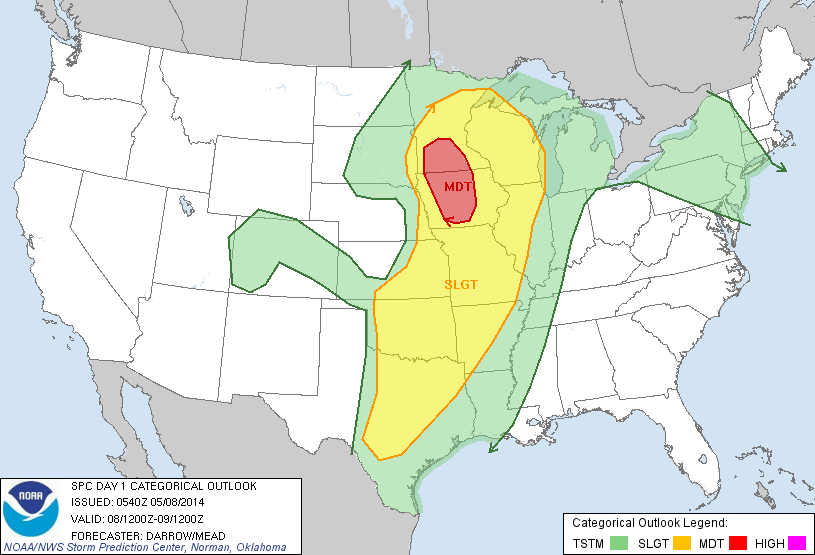
Moderate risk for severe weather today.
Image from SPC
The Storm Prediction Center has issued a Moderate Risk for severe weather occurring. This includes Southern Minnesota and much of Iowa and also includes the entire local Des Moines metro area and surrounding communities. All types of severe weather is possible but very large hail and damaging winds are the main threats. Although lower, there is chance for a tornado. All models show storms breaking out along the cold front this afternoon after 2pm. People in Iowa should be prepared for severe weather today.
Monday, May 5, 2014
Spring growth update #7 Crab apples, Lilacs, Pella Tulip Festival
Crab Apples at Des Moines Arie Den Boer Arboretum May 5th
We started off May very cool and wet with highs in the upper 40s and lower in the upper 30s but the last few days have been wonderful, sunny with highs in the middle 70s and we have significantly progressed in our growing season. This week Crab Apples and Lilacs have joined other spring flowers and trees still blooming and look great with Tulips, Redbuds that are still blooming. Daffodils and Pears for the most part are done and are loosing flowers. In the garden this week I have decided to go ahead and plant my frost tender annuals in the hopes it will now stay warm. I have also mowed lawn for the 2nd time this season already. In the tree out early and mid trees are now completely leafed out and leaves are nearing full size. Hackberry, Silver Maple, Norway Maple, Elms, Ashes are all kinds of trees which at leaves at this time. All trees including late ones such as Oaks, Lindens, black walnut are at least showing signs of breaking dormancy but they still appear leafless from far away. I would say 75% of the canopy has leaves of some degree of size, this is especially true in Metro Des Moines.
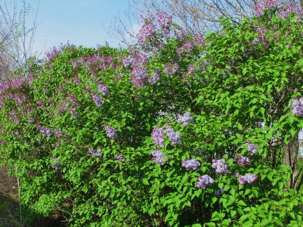
Lilac blooms May 5th 2014
Lilacs are blooming beautifully across Southern Iowa and their smell is great! Lilacs are an old fashioned favorite of many including me. I grew up in a house that was surrounded by beautiful old lilac bushes.
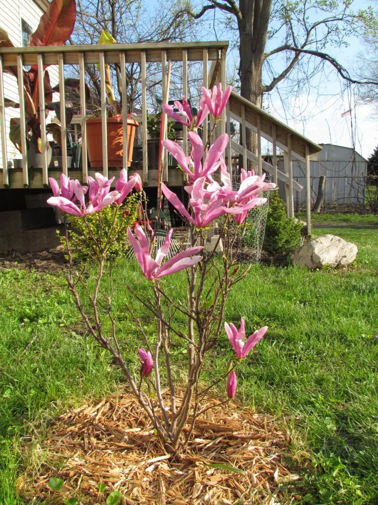
Susan Magnolia May 4th 2014
My Susan Magnolia finally reached full bloom this week and is quite nice. this shrubs has moved with me during my moves across Iowa. This variety I noticed blooms later the other kinds by at least a week and a half, but it is still none less beautiful and it does have a nice fragrance.
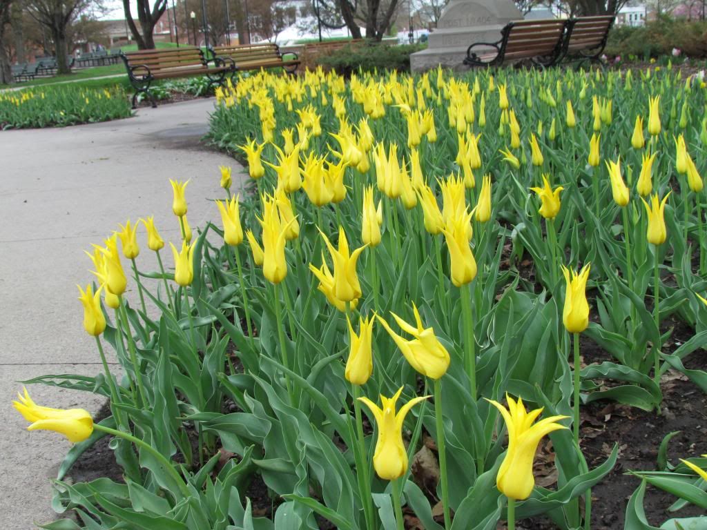
Tulips at the Pella Tulip Festival May 1st 2014 Pella, IA
I did visit Pella for the Tulip festival. I went during the 1st day of the event and it was cold and drizzly, but it was still a great day. There were 100s of Tulips across the city and I found Pella to be a very nice city. I especially liked the displays of Tulips along the boulevards across the city!
Tulips in a city park May 1st 2014 Pella, IA
This is another scene at the Pella Tulip Festival These were Appledorn Tulips
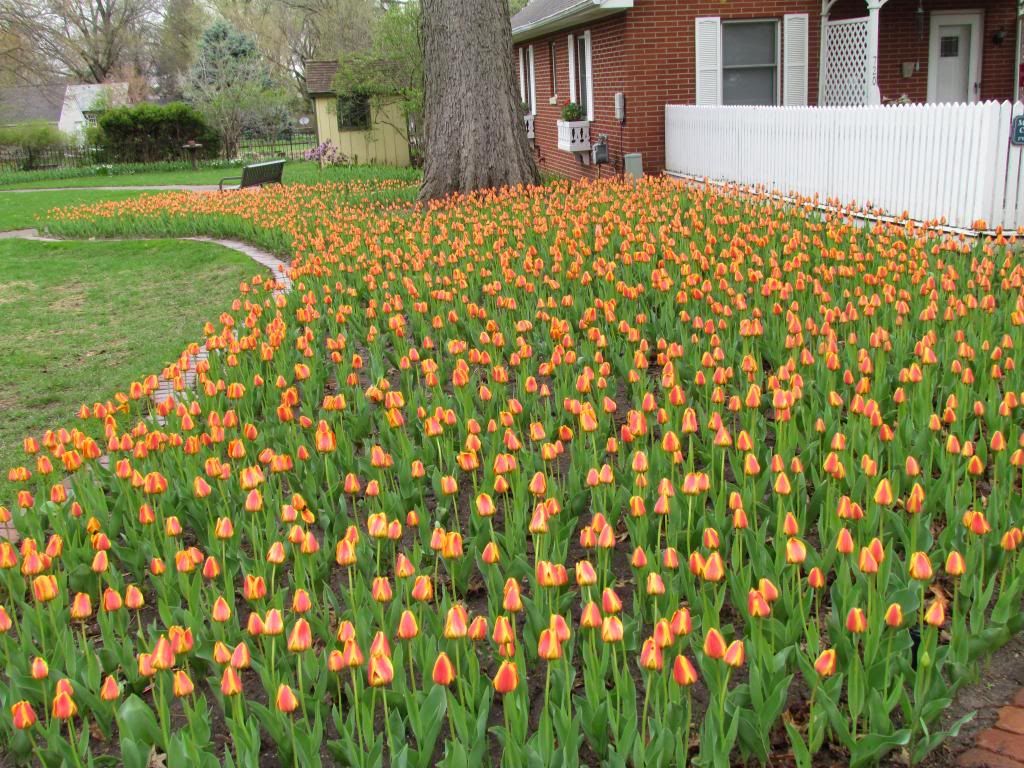
Tulips along Fleur Drive May 5th 2014 Des Moines, IA
Fleur Drive is one of the most beautiful corridors I've encountered in Des Moines so far. The street is lined with beautiful gardens and right now they are filled with these beautiful tulips.
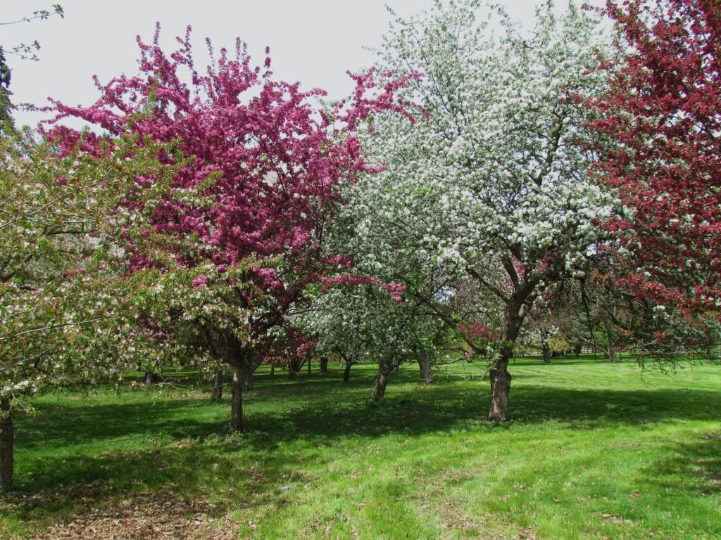
Crab Apples May 5th 2014
I leave this spring growth update with one final image of Crab apples in full bloom at Des Moines waterworks park. This was at the Arie Den Boer Arboretum. The smell and scenery at this park was outstanding and beautiful. Its a great place to take a walk and enjoy the beautiful blooms.
This week were expecting several warm days including 90.F on Wednesday with storms breaking out Thursday ( Severe potienal ) This will continue to progress the season at a fast rate over the next few days. We will soon be entering a very summer-like look as leaves reach full size.
Subscribe to:
Posts (Atom)