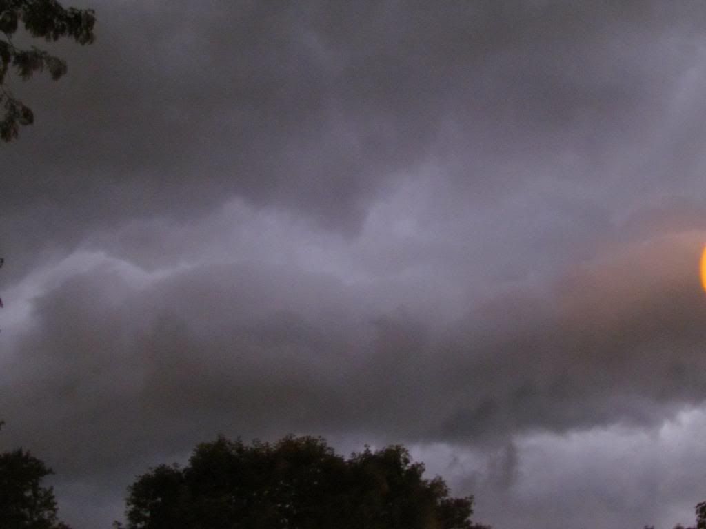
Storm front from early morning storms Friday October 4th
A very strong fall storm system lead to the development of a very late severe weather outbreak across Iowa. A late warm, humid airmass with temperatures in the 80s and dewpoints in the 70s was the fuel for these severe storms. From the storms, several tornadoes were reported in far Northwest Iowa where the worst of the severe weather was seen. Here in Eastern Iowa we dealt with several rounds of storms all of which hit during the morning hours Friday. The first wave 1st developed west of Des Monies and produced significant damage in that area. It pushed across the state following I-80 and weakened to below severe levels by the time it reached Eastern Iowa around 2-3am, still strong winds around 40-50MPH were reported, but no damage was reported. The 2nd wave of storms developed Southeast of Des Monies and these storms were more along the pulse-like nature. These storms moved northeast into Iowa County and pulsed to severe limits in that area and produced golf ball sized hail in the Amana area. This storm moved northeast towards the Cedar Rapids metropolitan area and did cause a scare for the Southeast Cedar Rapids and Marion, but luckily the storm weakened before reaching the metro. This storm was the last one of severe levels to effect Eastern Iowa. Rainfall amounts across the area ranged from 0.08" in Waterloo to 0.79" here in Hiawatha and even 2" plus in the Center Point-Central City area.
Interesting Note- lightning seen over 100 miles from storms in Northeast Iowa:
Late evening around 10pm, there was several reports of lightning flashes as far south as Cedar Rapids and Washington, I myself witnessed the lightning and it was not your typical thunderhead lightning that you can see for 100s of miles from some storms, it was true lightning flashes in the clouds and it was intense and constant. Several residents reported that it was more intense then normal and very strange. All this lightning was centered in storms from storms 118 miles from Cedar Rapids in Northeast Iowa in the Cresco-Decorah areas.
Storm Reports from Eastern Iowa
2 miles W of Amana 1.75" golf ball sized hail


No comments:
Post a Comment