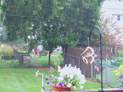
 Soggy conditions September 26th 2011
Monday was a soggy, blustery and cool day for much of the area, as a low pressure system was passing through. What is interesting about this system is that it is a cut off low pressure system, so it is actually moving in an usually Westerly direction, instead of the typical east direction seen most of the time. This is why we've been stuck under clouds for a long period of time. The system sent wave steady moderate showers west out of Wisconsin, eventually passing through the entire area. There was a fairly sharp cutoff in the heaviest totals from the lesser totals because the bands remained over these areas longest, and they dried up in drier air that was over Cannon Falls and Dodge Center. Southeasterly areas, which was in need of the moisture got commonly around 1 inch of rain, while westerly and northerly areas saw a quarter inch or less, even further north barely say anything but some drizzle!
Rainfall totals across the area
Winona 1.15"
Dakota 1.03"
West Downtown Rochester (my sta.) 1.00"
Lanesbro 0.84"
Preston 0.79"
Rochester Airport 0.68"
Spring Valley 0.65"
Austin 0.26"
Red Wing 0.25"
Lake City 0.25"
Dodge Center 0.19"
Cannon Falls 0.03"


No comments:
Post a Comment